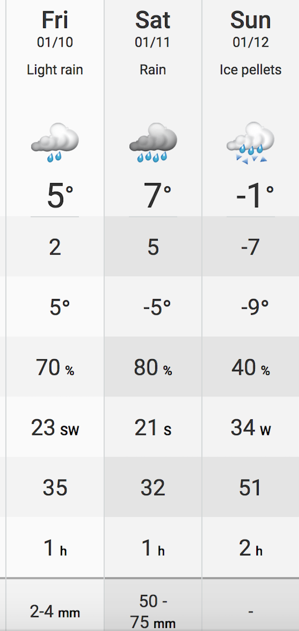
Snowfall Warning Issued For Peterborough And Kawartha Area
/Environment Canada has issued a snowfall warning for most of the greater Kawarthas region for Thursday afternoon into Friday morning.

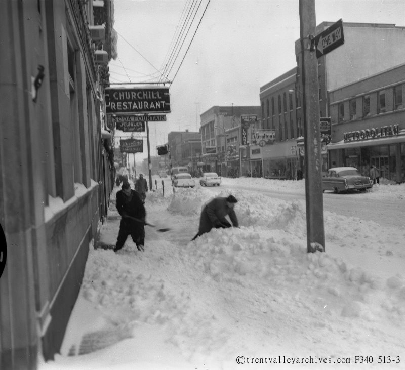
File Photo.

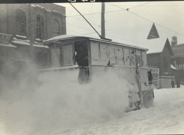
File Photo.
Photo courtesy of The City of Peterborough.
----------------
ORIGINAL POST
Digging out from a snowfall back in the day in Peterborough
PTBOCANADA is a website about Peterborough, Ontario, Canada. Copyright ©2010-2022, PTBOCANADA Media Inc. All rights reserved.