Peterborough Transit Implements Google Transit

Planning your trip on Peterborough Transit? Now, you can just Google it as they have joined Google’s Transit Partner Program with its routes and schedules integrated into Google Maps.

“This is a great step for Peterborough Transit and for the residents of Peterborough,” says Councillor Kemi Akapo, co-chair of City Council’s Transportation portfolio. “Thanks to all the Transit, technology services and mapping staff who worked tirelessly to make using transit more accessible.”

“I’m happy to hear that Peterborough Transit will now be able to offer its riders Google Transit,” adds Councillor Don Vassiliadis, Transportation portfolio co-chair. “This will help the City create a more convenient and reliable transit system.”

Screen Shot 2020-08-13 at 8.04.12 AM.png

To use Google Maps to plan your route and times for Peterborough Transit services, click google.ca/maps, enter in your starting point and your destination, select the transit icon, then hit Enter.

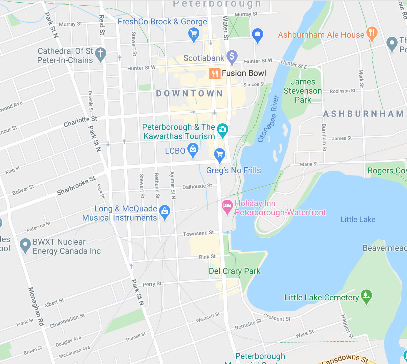
Google Maps will show you the location of the nearest bus stop, what bus to catch to get to your destination, the route it will take, and any recommended transfers. To plan ahead of time for a later departure, simply change the Leave Now setting to either Depart At or Arrive By to customize your schedule.

“Our customers have been eagerly anticipating the launch of Google trip planner, and this is the first exciting step on our way to real time bus tracking,” says Laurie Stratton, Manager, Transit.

Engage with us on social media on Twitter, Instagram and Facebook. Write to us at tips@ptbocanada.com. Sign up for PTBOBuzz newsletter here.