Otonabee Conservation Issues Flood Watch Amid Snowfalls Forecast for Peterborough and Surrounding Areas
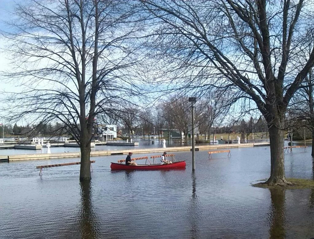
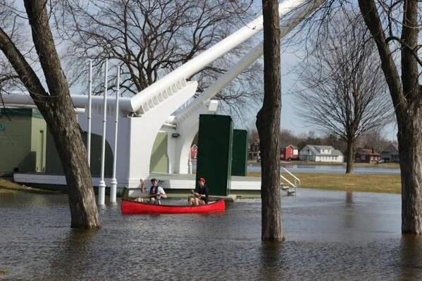
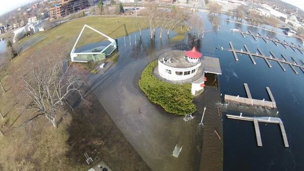
/A flood watch update was issued by Otonabee Conservation for the Trent-Severn Waterway (Kawartha Lakes, Otonabee River, Rice Lake, Trent River to Hastings) and local watercourses on Tuesday, warning communities that signifiant precipitation could lead to flooding.
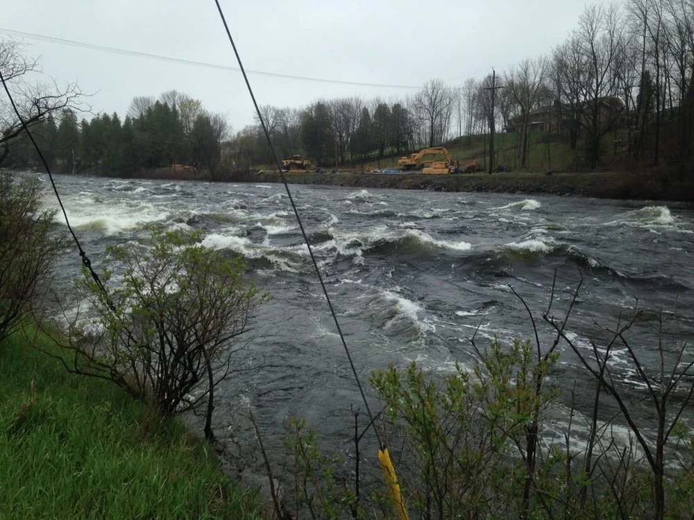
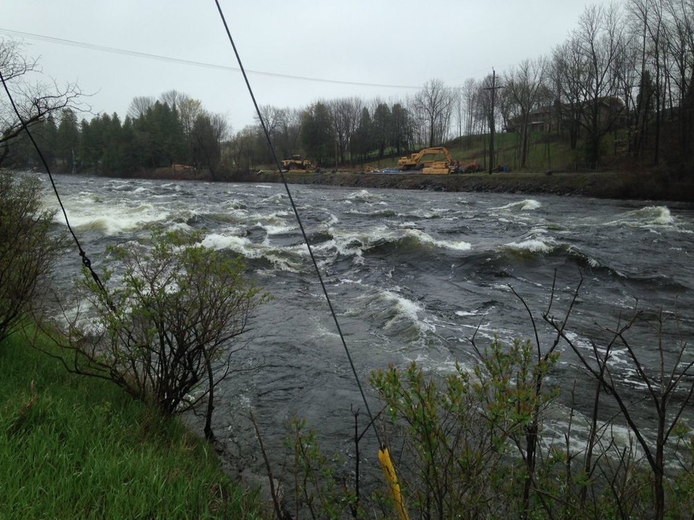
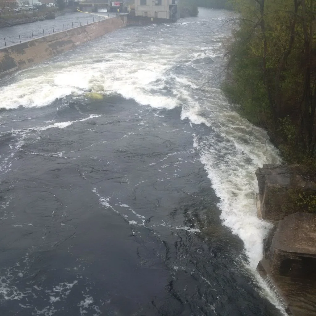
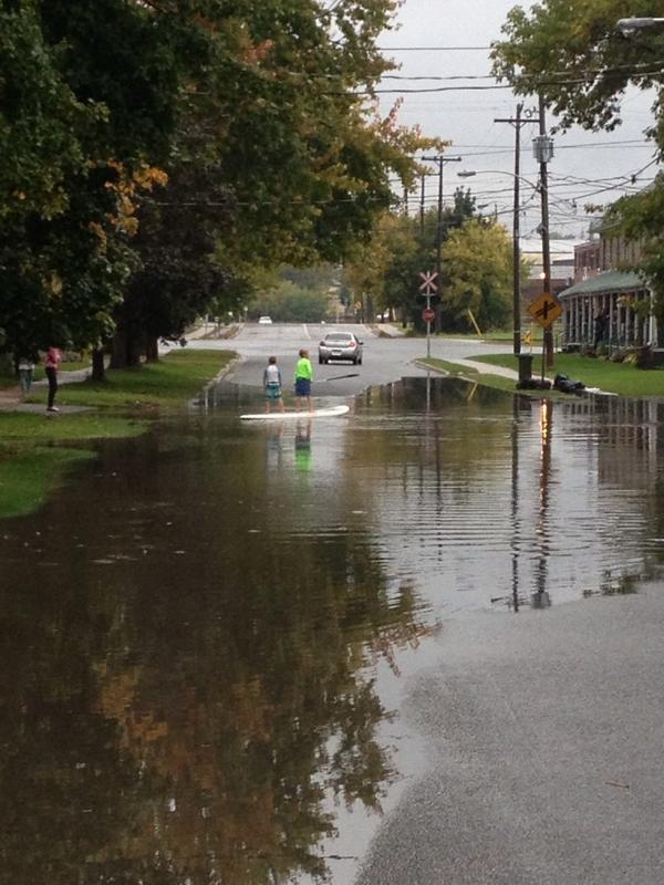
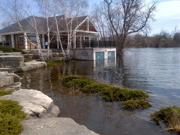
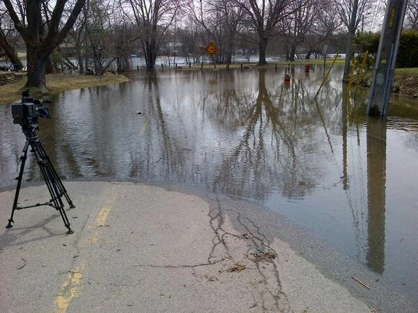
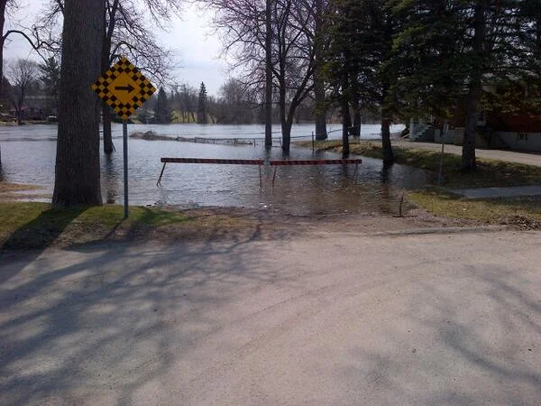
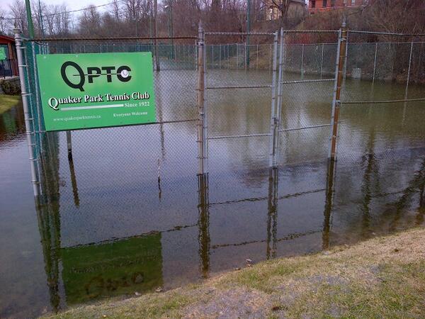
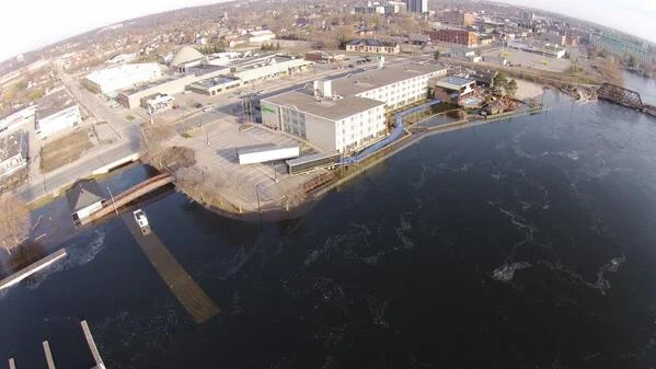
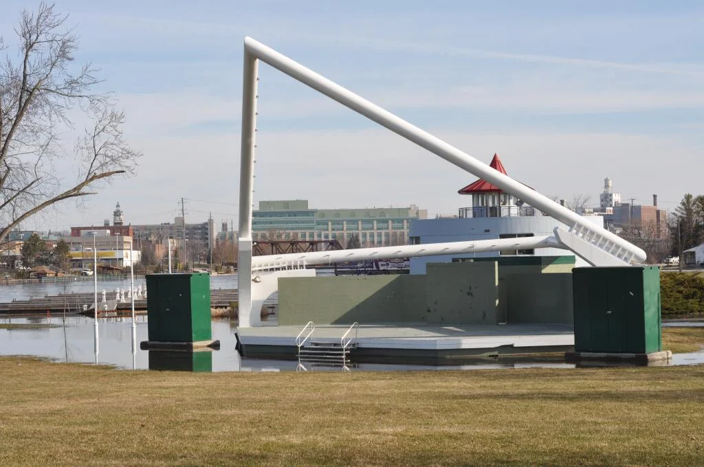
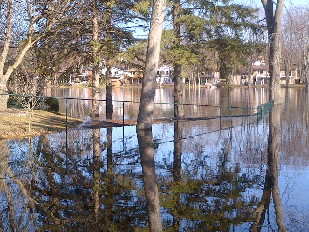
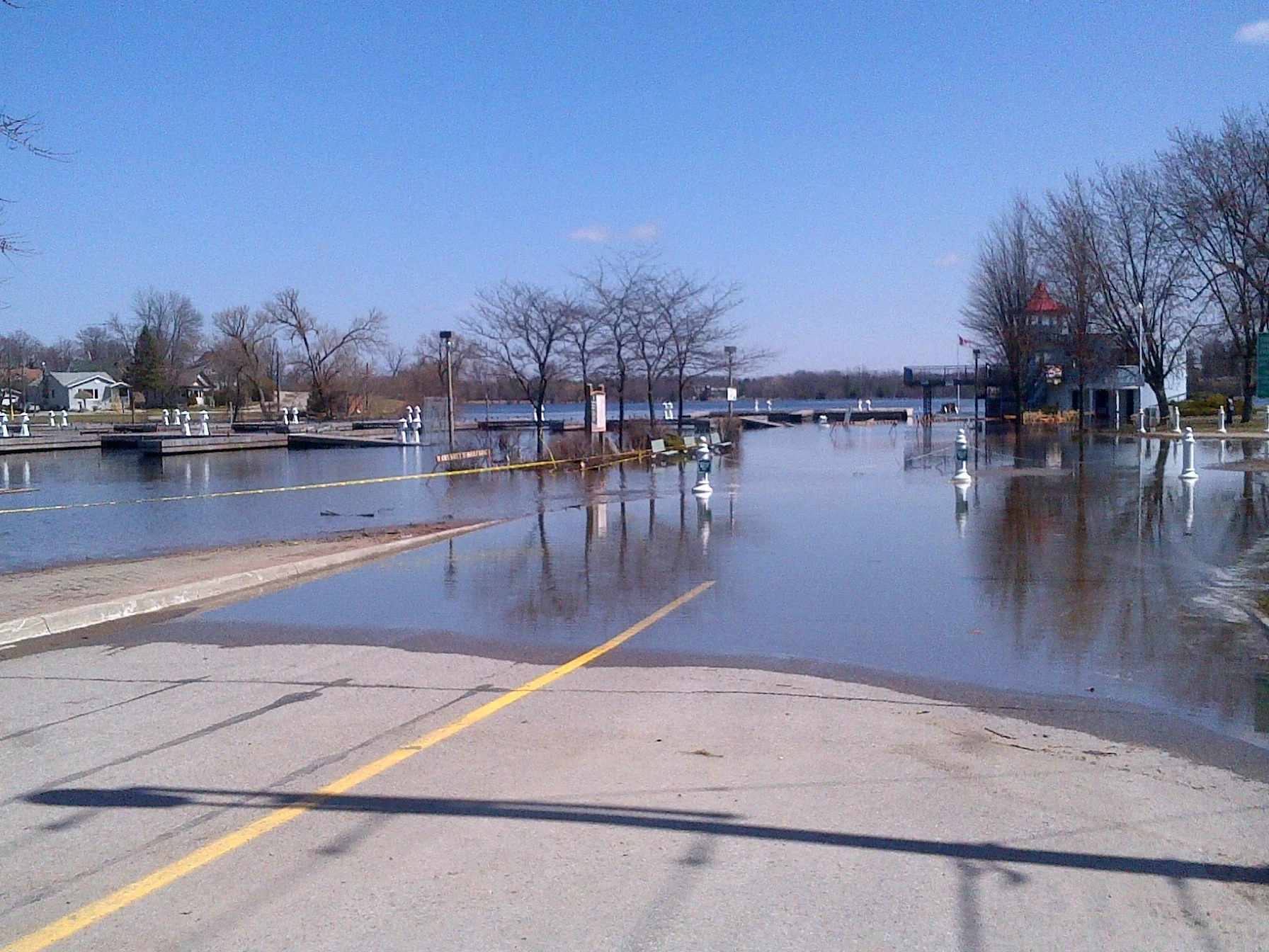
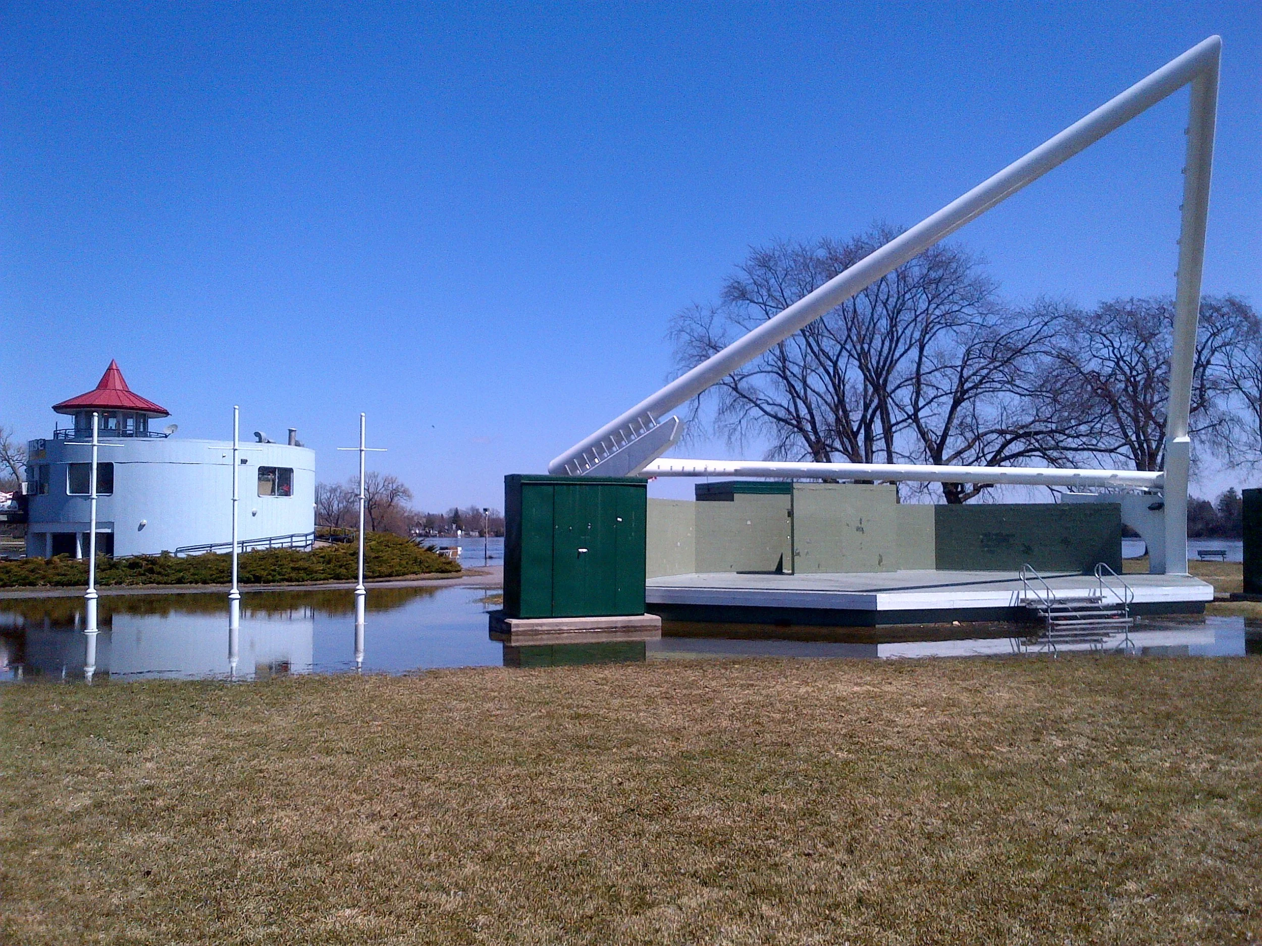
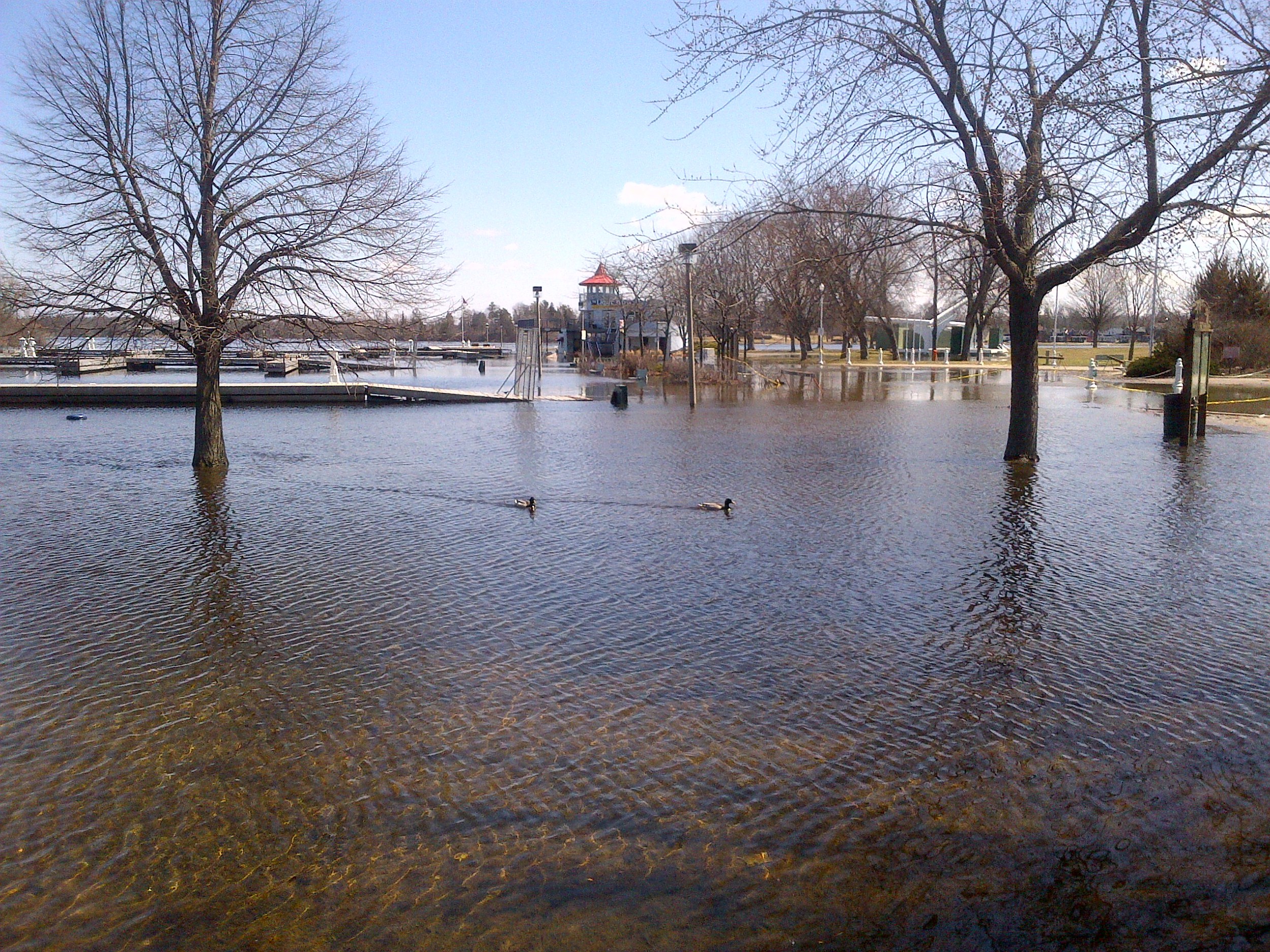
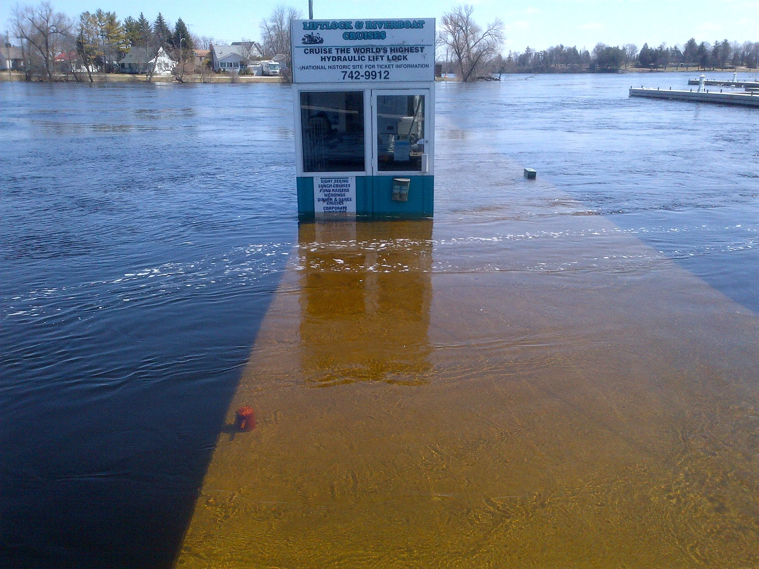
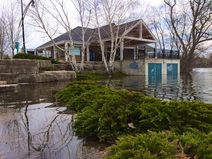
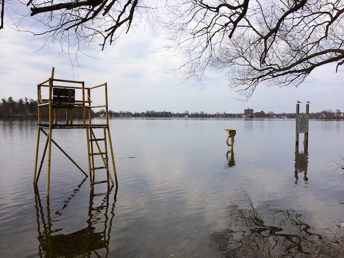
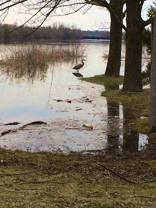
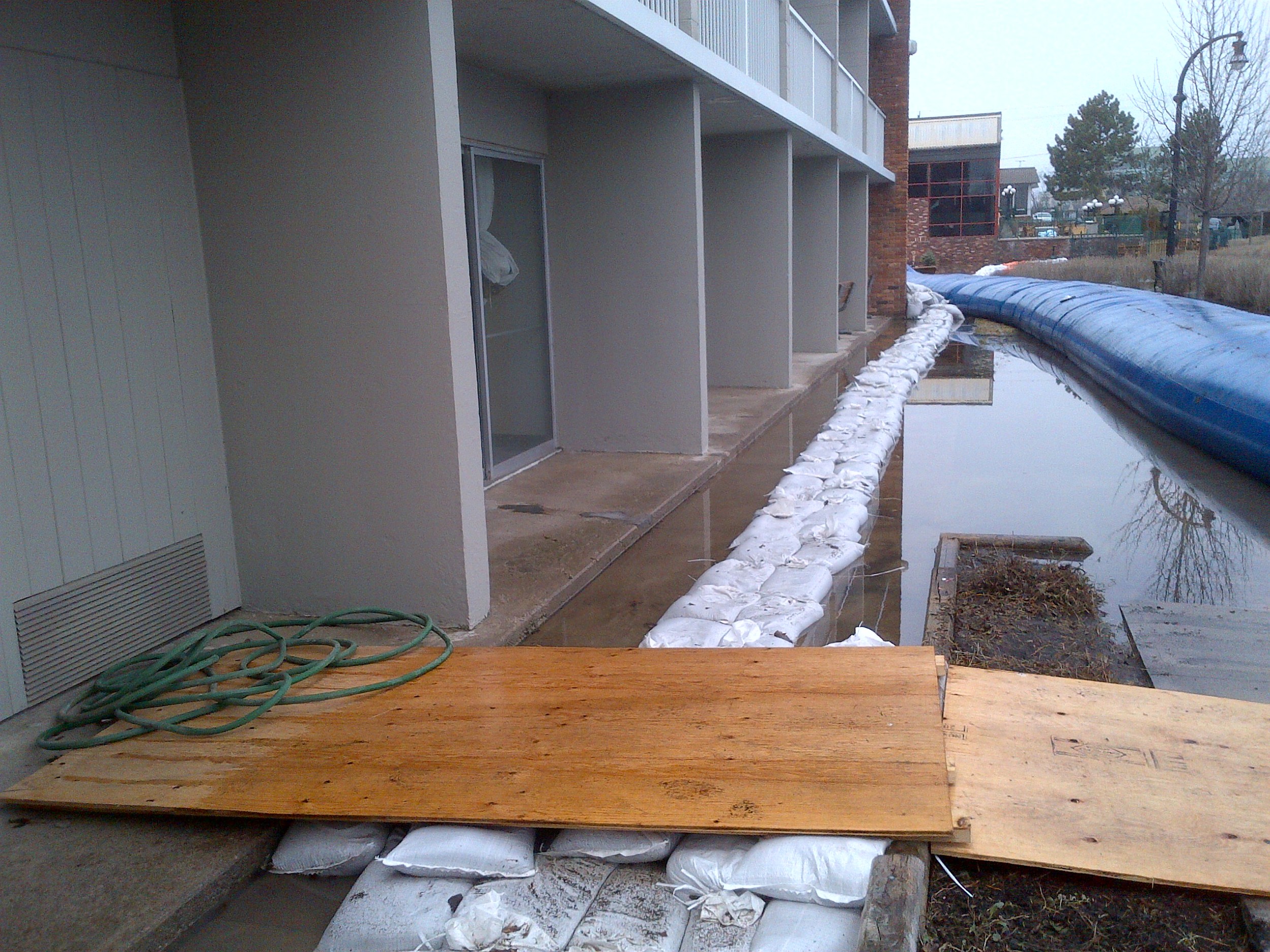
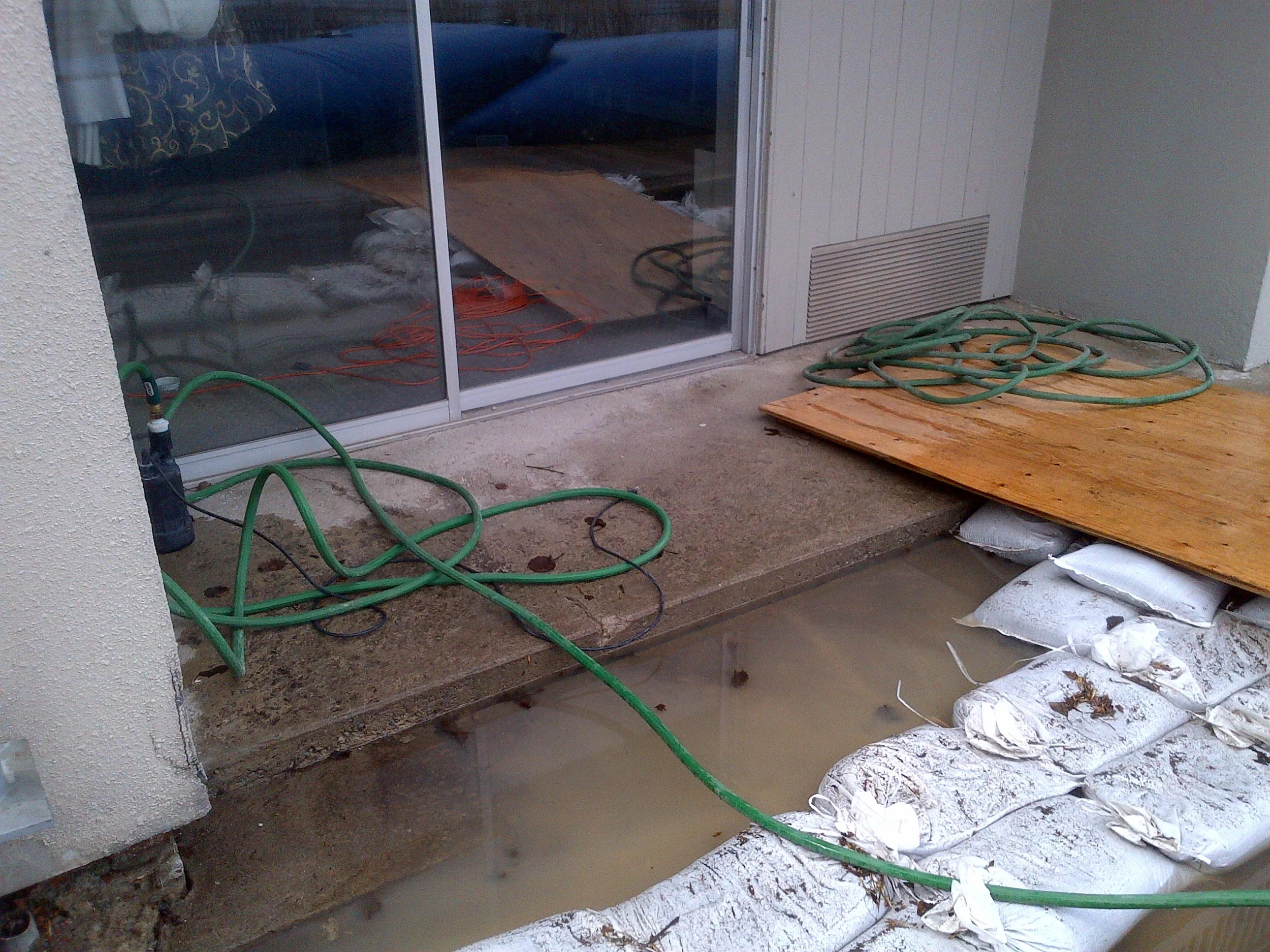
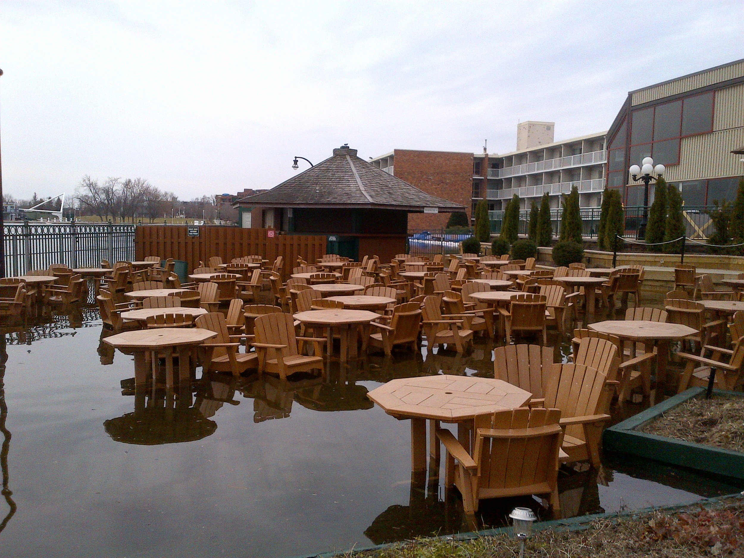
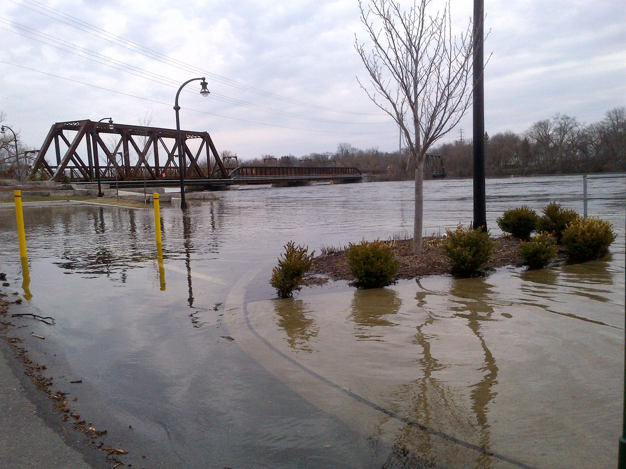
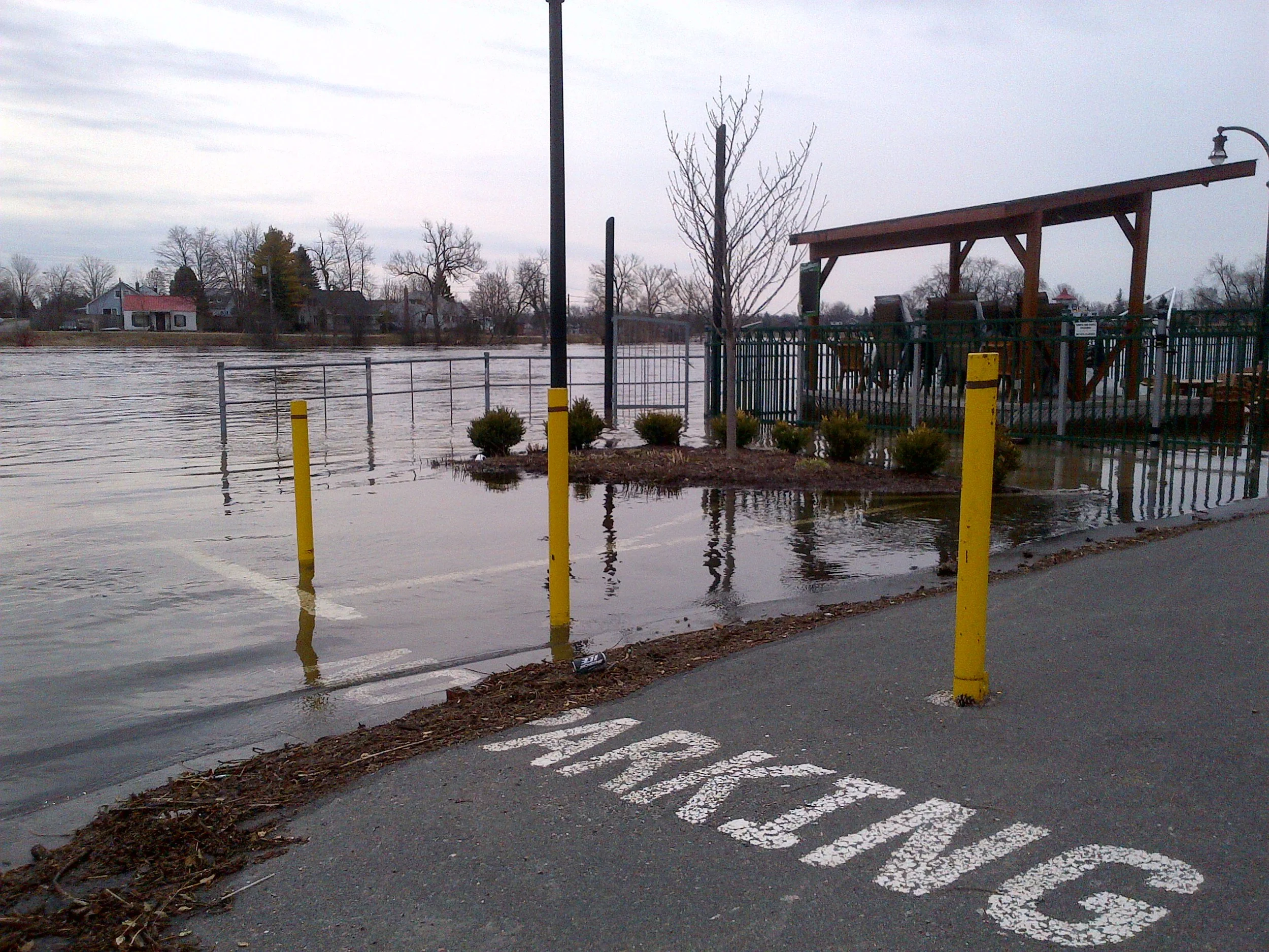
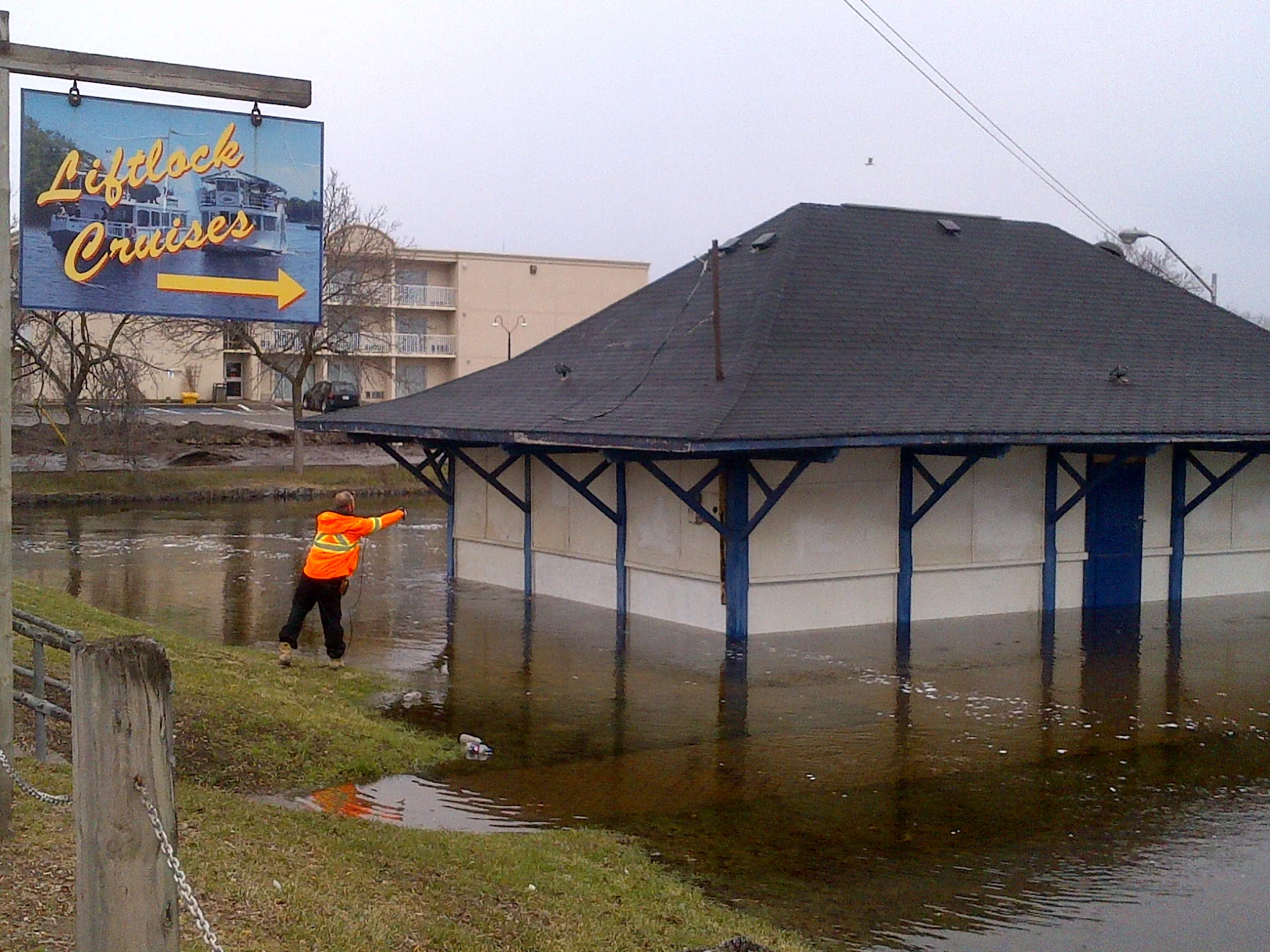
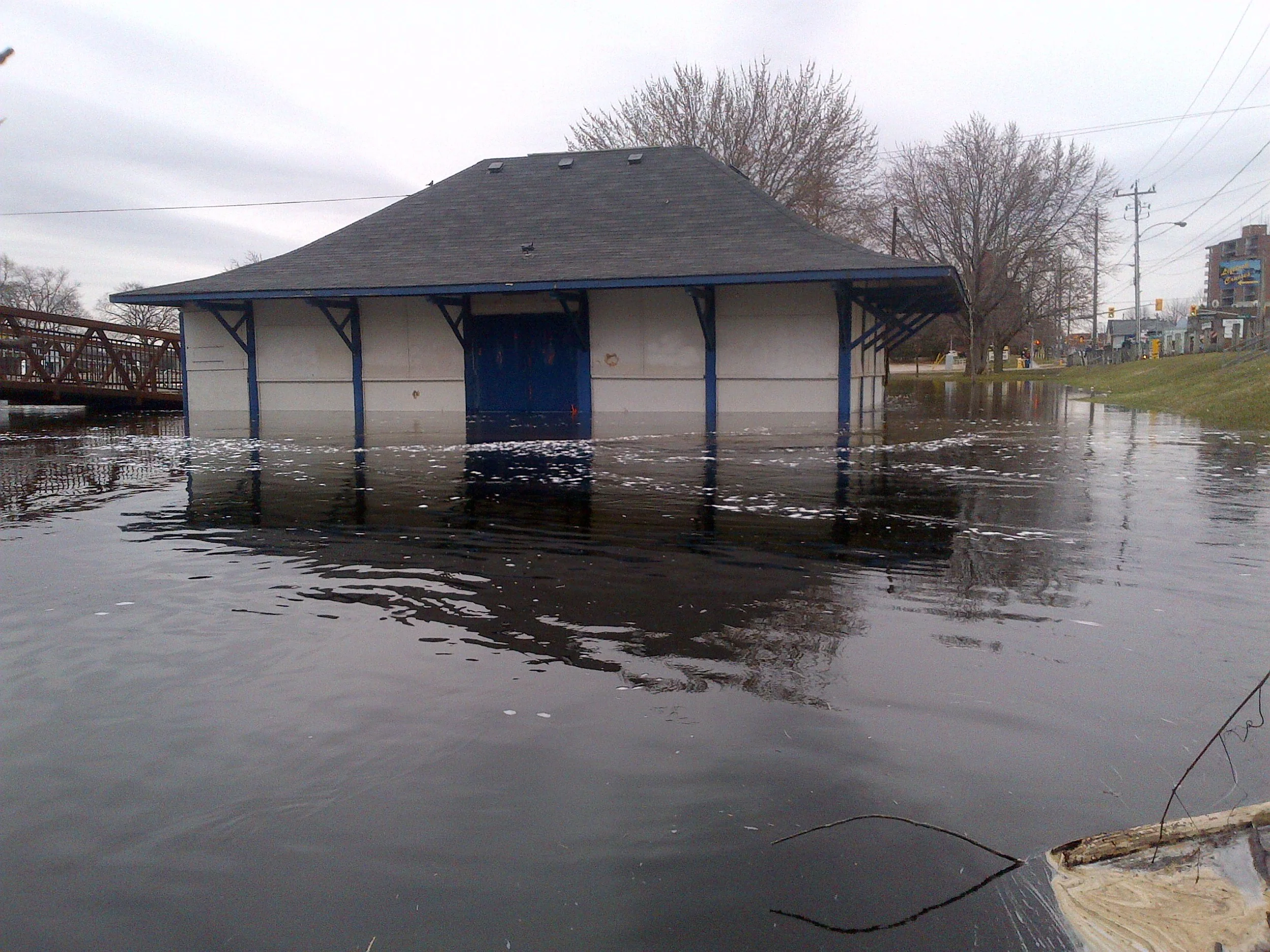
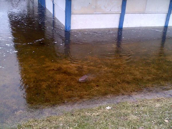
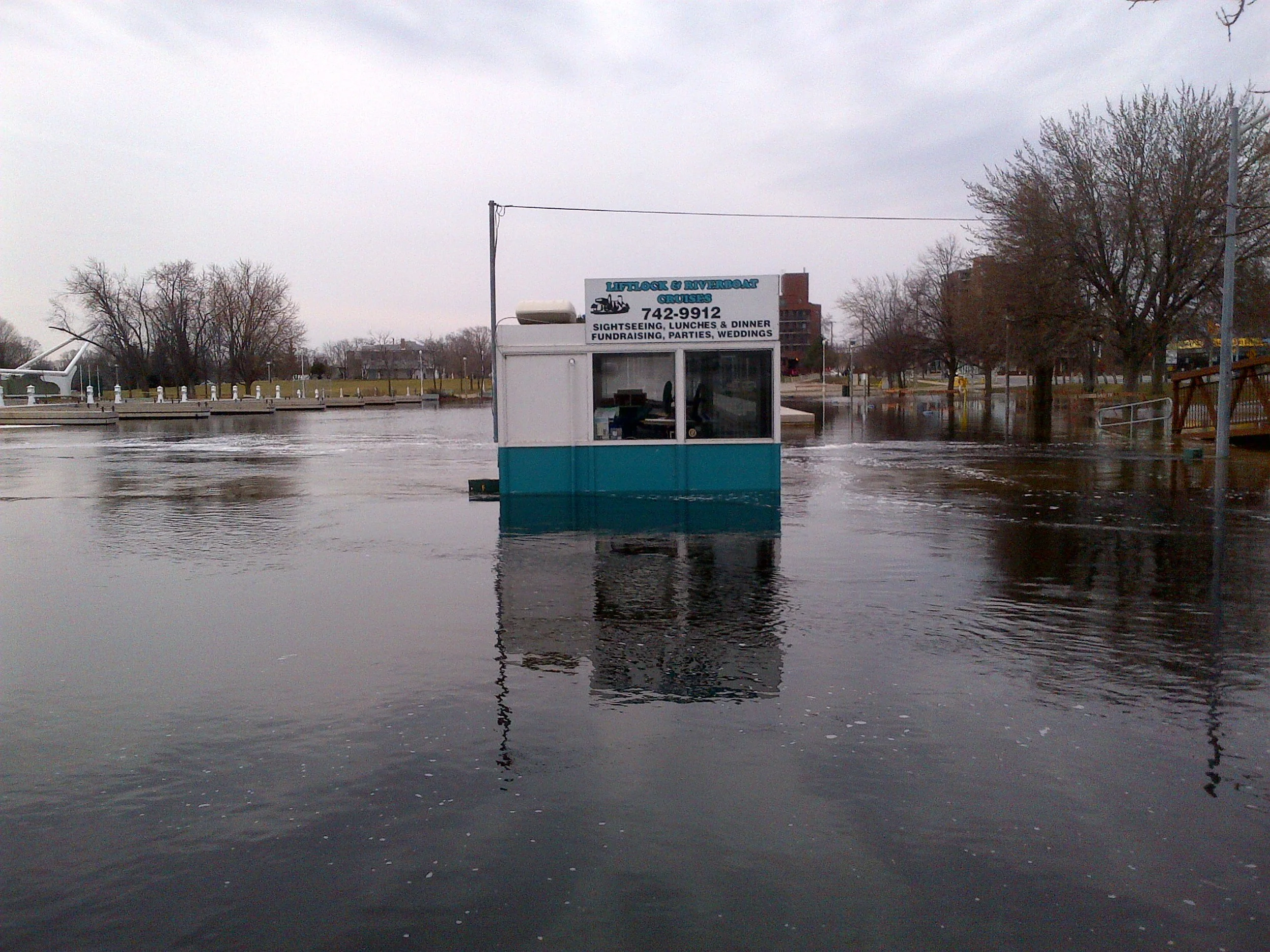
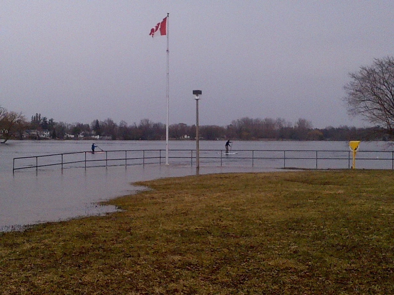
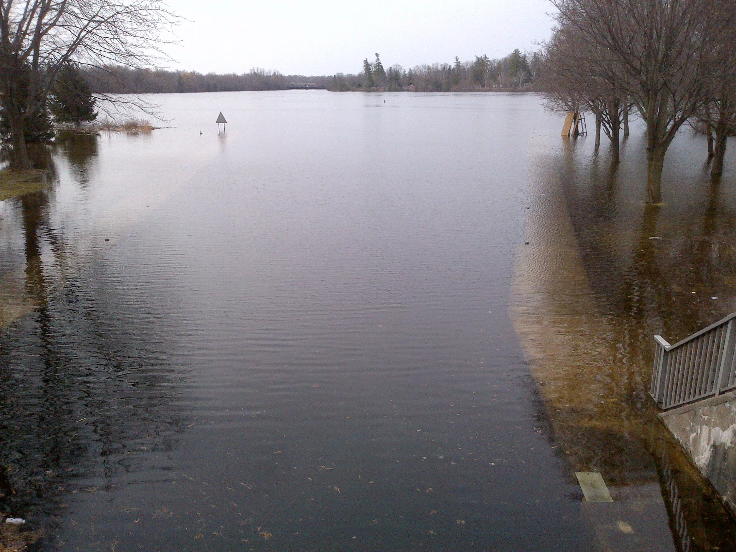
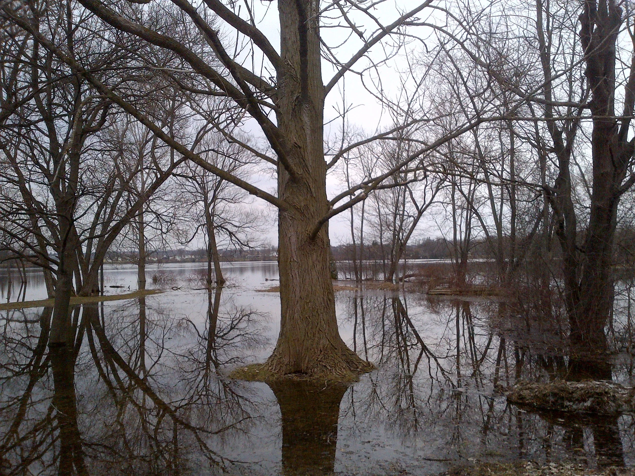
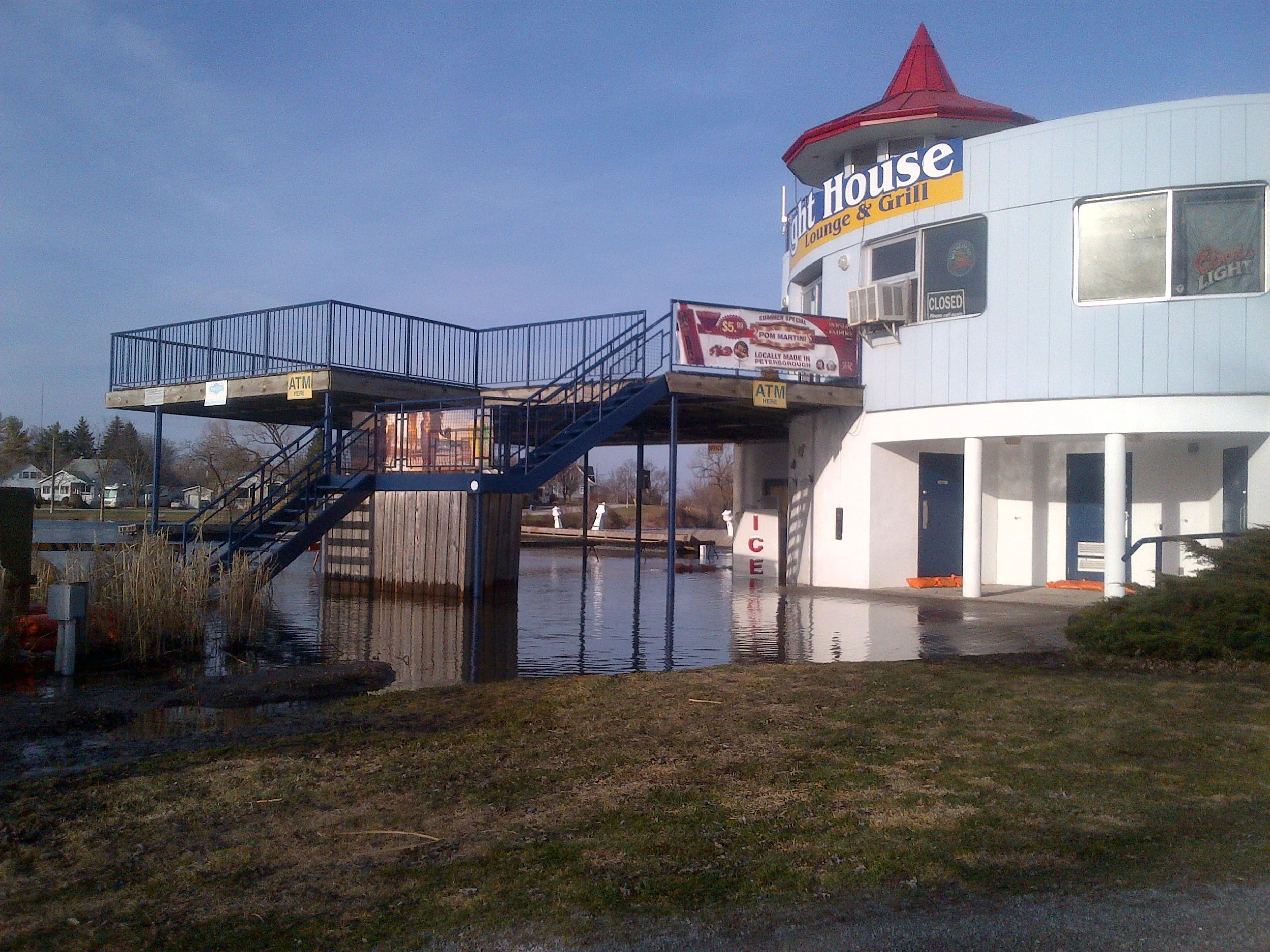
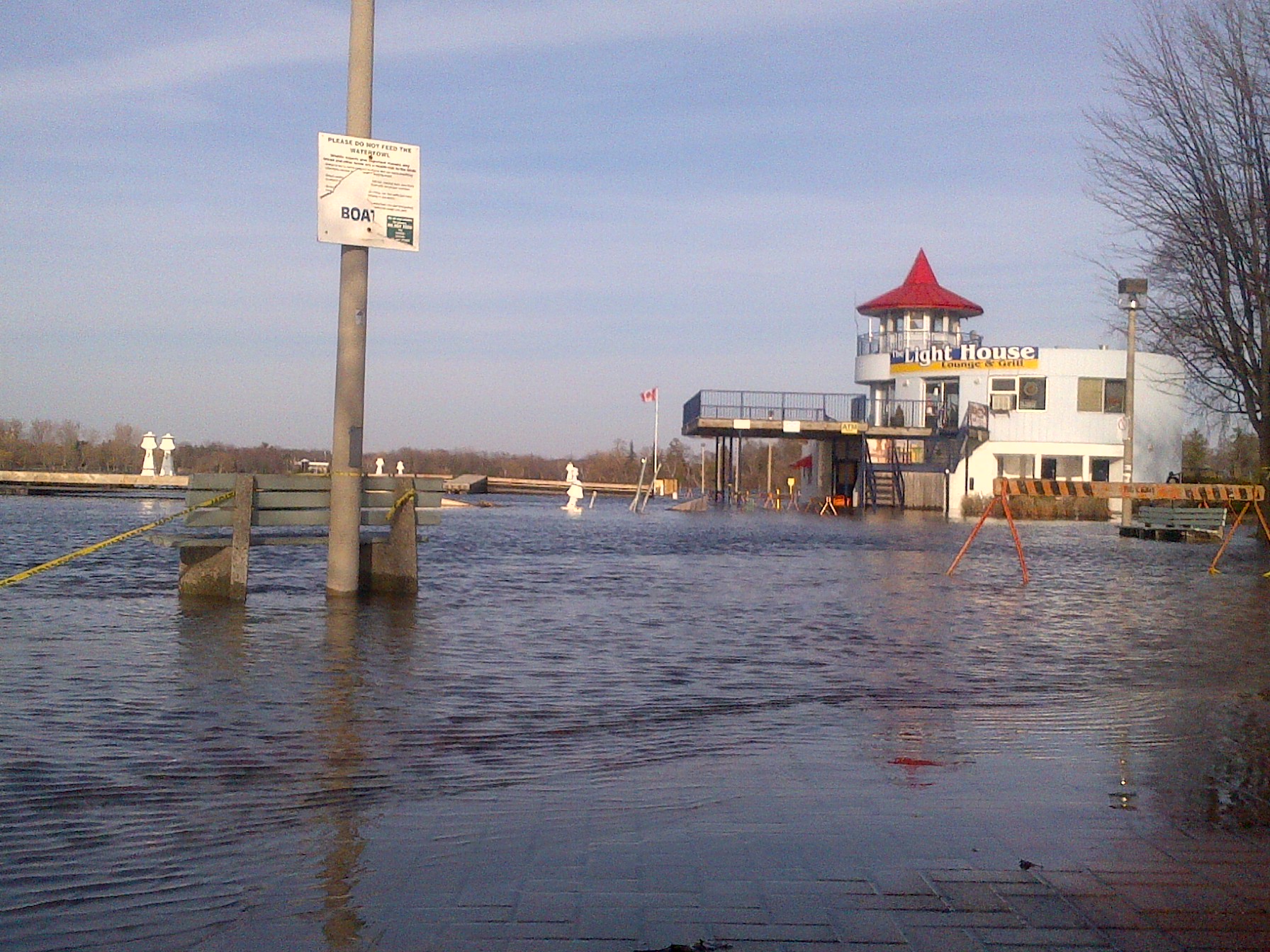
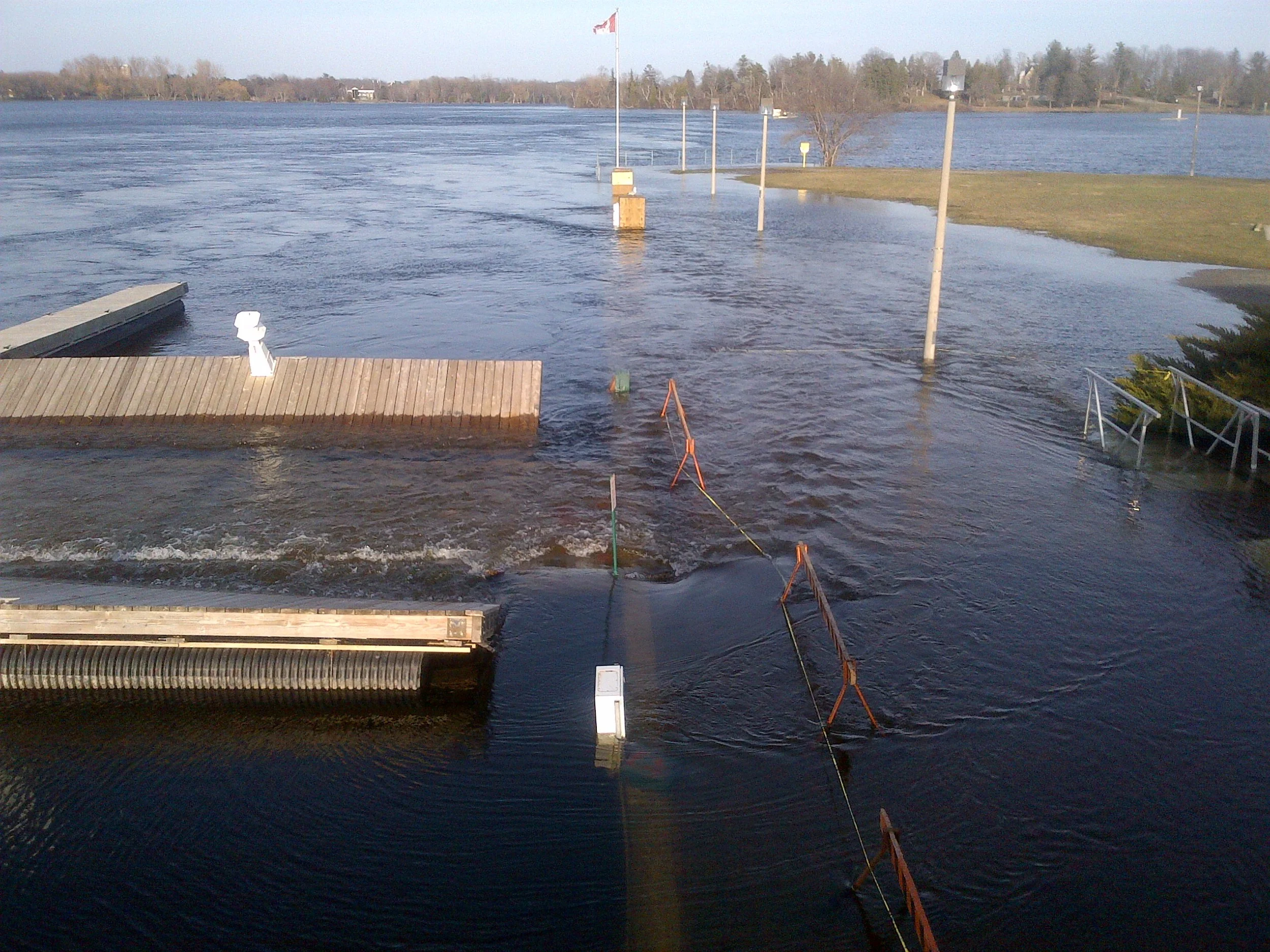
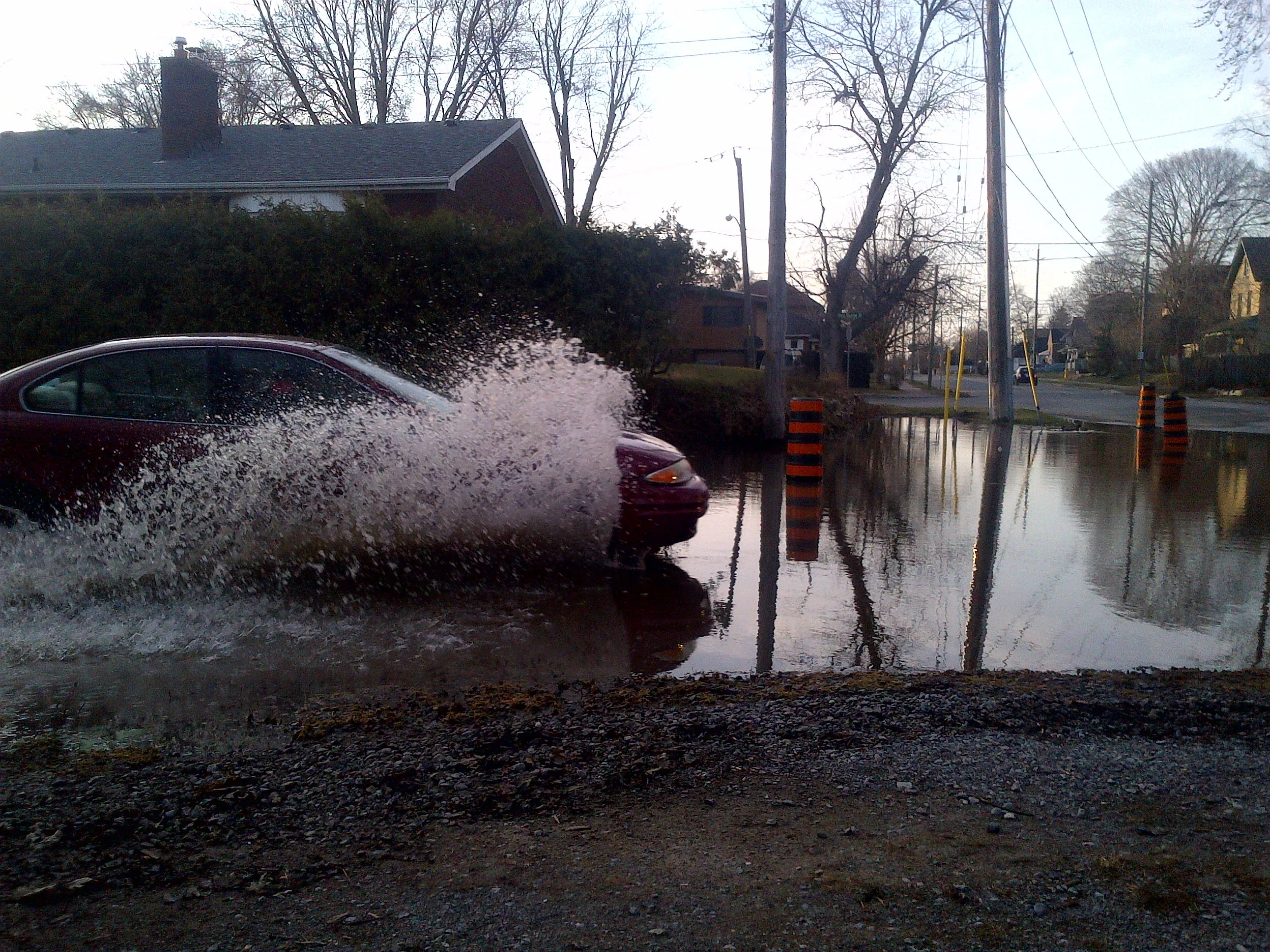
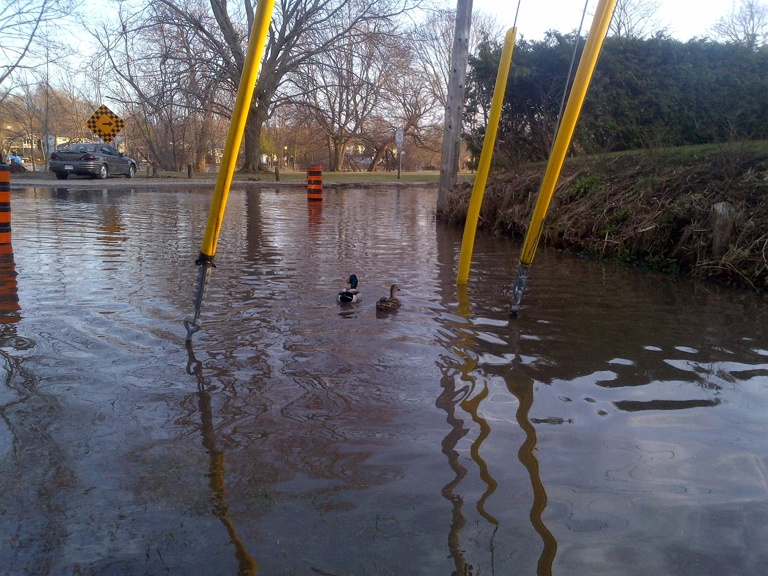
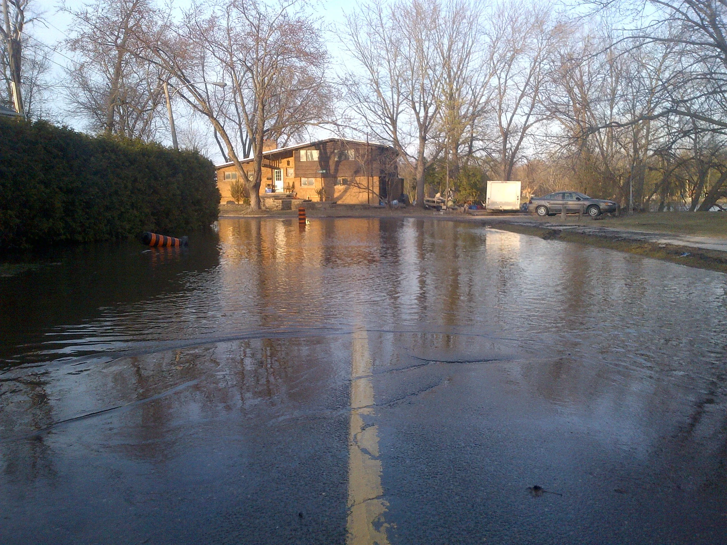
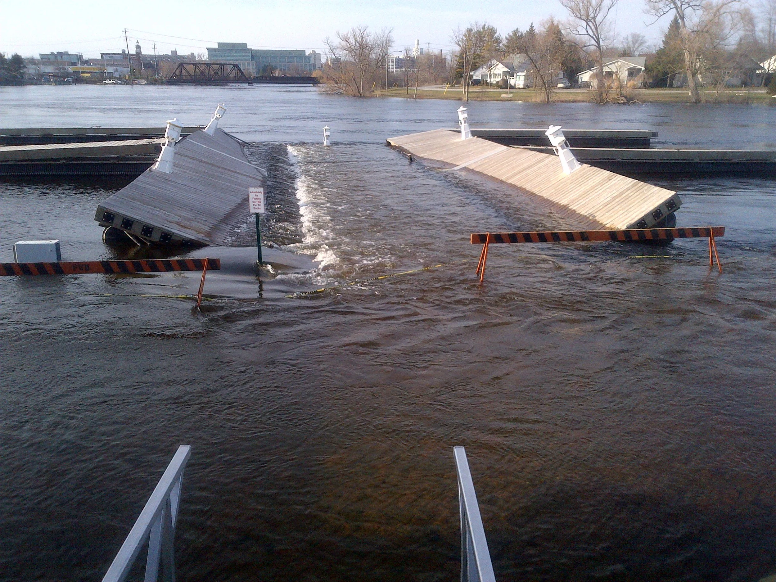
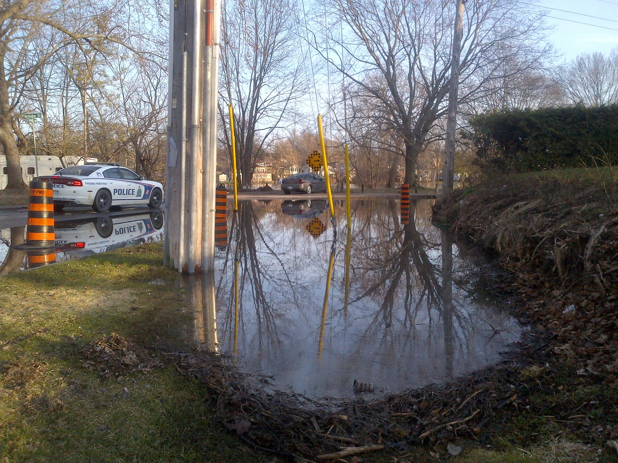
File Photo.
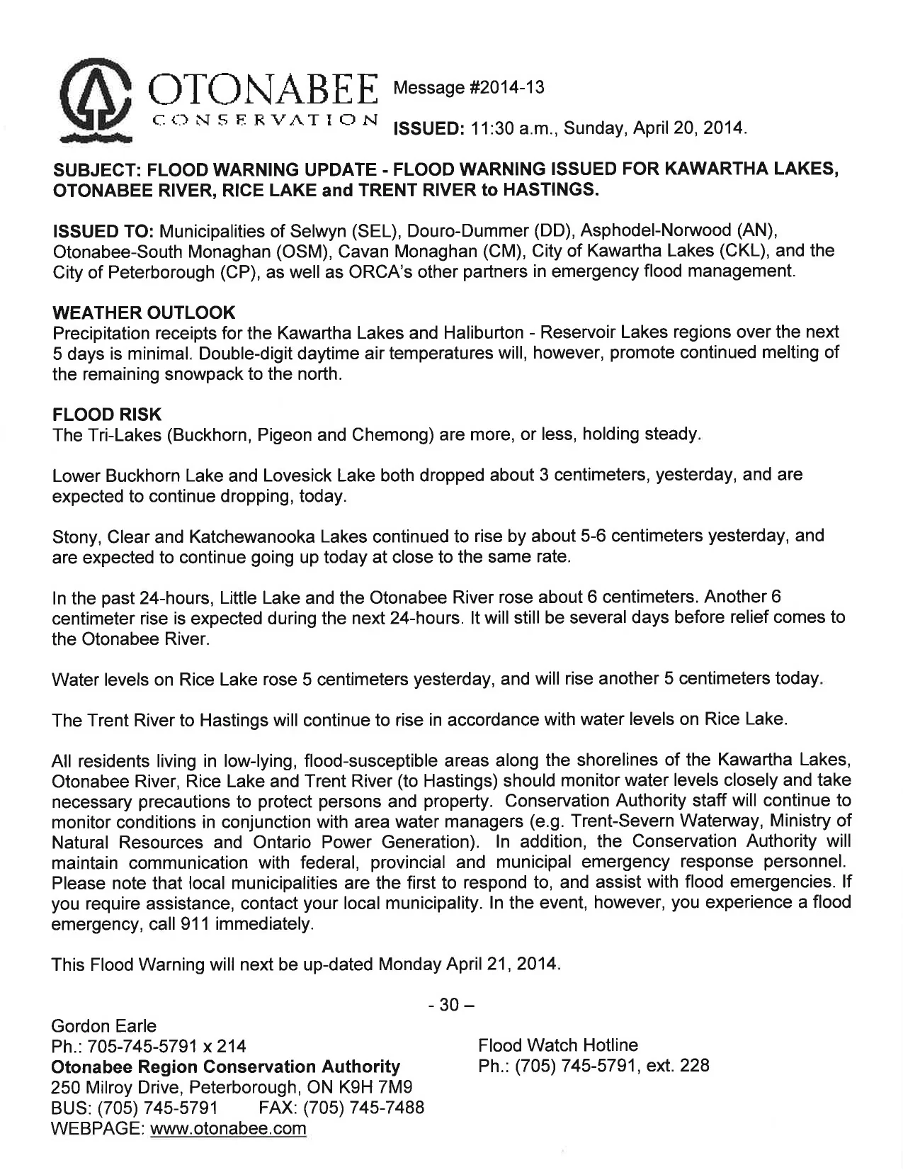
The Flood watch, issued to Municipalities of Selwyn, Douro-Dummer, Asphodel-Norwood, Otonabee-South Monaghan, Cavan Monaghan, City of Kawartha Lakes, City of Peterborough and Trent Hills and ORCA’s other partners in flood emergency management, states that precipitation accumulation could lead to flooding.
Falling snow and wind chill are ingredients that contribute to cooling of river/stream/creek water, promoting and accelerating the generation of frazil ice. Multiple days of frazil ice generation increases the possibility of frazil ice accumulation causing channel constriction and the back-up of water behind the accumulation/constriction, leading to flooding of adjacent low-lying areas.
Starting Tuesday night and continuing for the next 7 to 10 days, the forecast is for wind chills that will drop overnight lows well into the double-digits.
Beginning Wednesday afternoon and continuing through Thursday morning, Otonabee Conservation says a strong low-pressure system will bring high winds, cold air temperatures and significant snowfall. They are alerting municipalities, residents and businesses that floods are possible with those snowfalls expected in the next couple days, and advising those in low-lying, flood-prone areas to keep an eye out for frazil ice generation, accumulation and rising water levels and to prepare for potential flooding.
Wednesday and Thursday’s total snow accumulations are expected to be around 20 centimeters across the watershed. This winter storm is expected to be followed by a series of minor weather disturbances bringing more snow, albeit low accumulations and continued cold air temperatures into the early days of February.
Thursday and Friday’s temperature low is expected to be - 19 degrees while feeling closer to - 22 degrees.
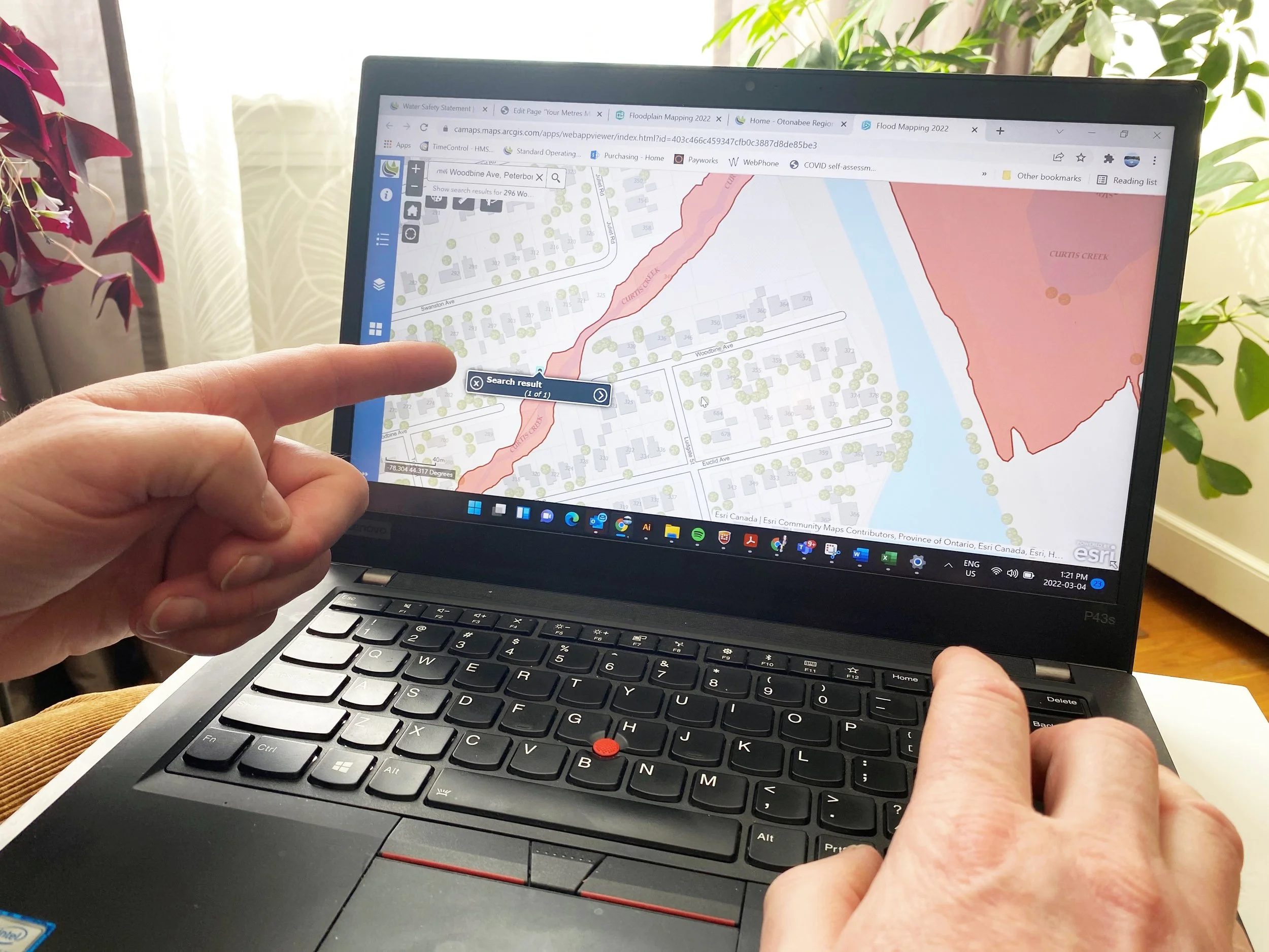
Water levels can be monitored online at:
Trent-Severn Waterway’s Water Management InfoNet
Water Survey of Canada Real-Time Hydrometric Data
Otonabee Region Conservation Authority website