UPDATED: Major Winter Storm Possible, We Could See Up To 15 Centimetres Of Snow
/UPDATED Monday, March 13th: An update from Environment Canada
-> Total snowfall amounts of 10 to 15 cm are expected by Wednesday.
-> Snow will develop this evening or overnight and continue into Wednesday morning.
-> Northeast winds gusting to 50 km/h are also expected Tuesday resulting in localized blowing snow. Travel conditions Tuesday into Wednesday morning may be hazardous as a result of snow and blowing snow.
-> Snow will taper to scattered flurries Wednesday as the low pressure system moves east.
----------------
ORIGINAL POST
Spring may be days away, but don't tell that to Mother Nature. A special weather statement has been issued, with 15 to 25 centimetres possible.
Snow is forecast to begin over Southwestern Ontario during the day Monday (March 13th), then spread over much of the remainder of Southern Ontario Monday night through Tuesday. Cold Arctic air already in place over the Great Lakes will result in a dry fluffier snow, resulting in localized blowing snow as winds strengthen during the storm.
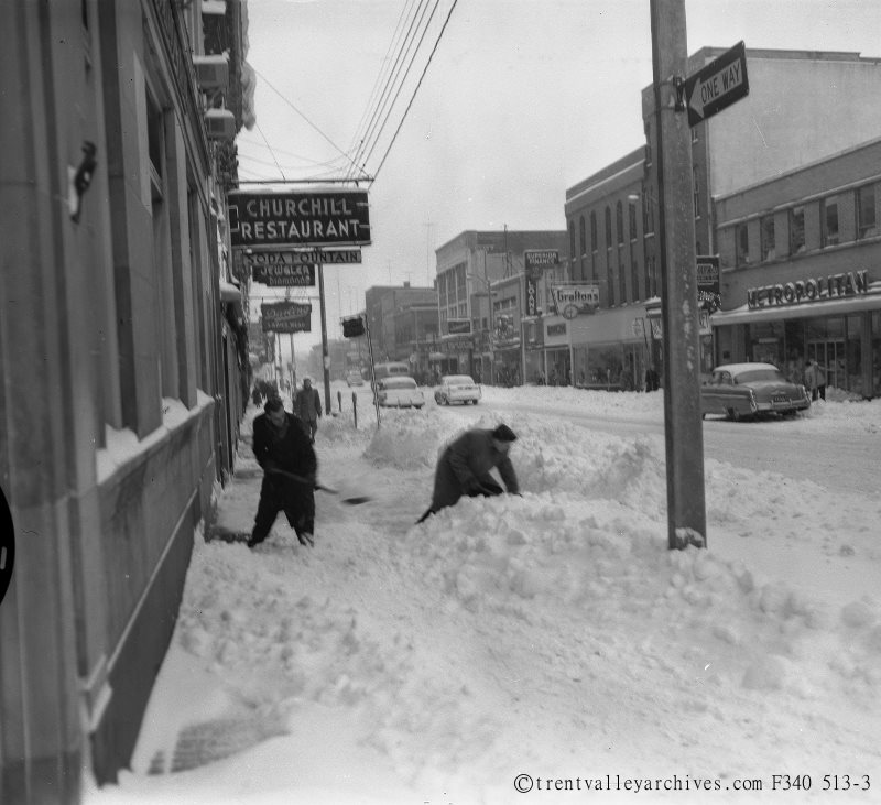
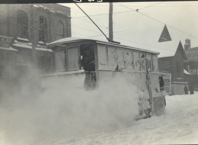
Digging out from a snowfall back in the day in Peterborough