Winter Storm Watch Calling For Heavy Precipitation Issued For Peterborough
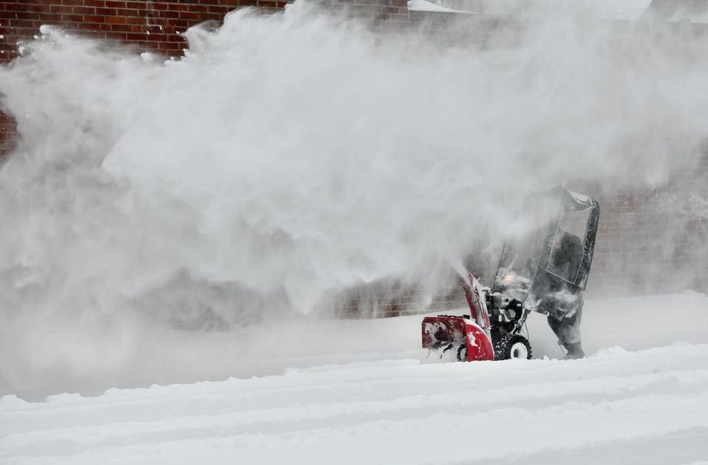
A Winter storm watch has been issued for Peterborough on Tuesday; in effect for late Wednesday and into Thursday as a winter storm is expected.

file photo.

The Weather Network says precipitation may fall heavily at times leading to hazardous winter travel conditions, and may also mix with freezing rain in some areas.

There remains some uncertainty for the exact location, timing and accumulations of snow and ice pellets. Warnings may be issued as the event draws nearer.

Rapidly accumulating snow could make travel difficult over some locations. Travel is expected to be hazardous due to reduced visibility in some locations. Surfaces such as highways, roads, walkways and parking lots may become icy and slippery. There may be a significant impact on rush hour traffic in urban areas.

To keep up with weather updates visit the website.

Engage with us on social media on Twitter, Instagram, Facebook and Tiktok. Write to us at tips@ptbocanada.com. Sign up for PTBOBuzz newsletter here.

Special Weather Statement Advises Peterborough of Heavy Snowfall

The Weather Network advises that snow is expected to begin in the Peterborough area Thursday afternoon and become heavy at times throughout Thursday evening.

File Photo.

Total snowfall amounts of 10 to 15 centimetres are expected by Friday morning, with amounts exceeding 15 centimetres over the higher terrain north of Lake Ontario. Lesser snowfall amounts are forecast near the shoreline of Lake Ontario where snow may transition to rain.

Hazardous travel conditions due to heavy snow and blowing snow are also being reported, including for the evening commute. The Weather Network recommends ‘considering postponing non-essential travel until conditions improve’ and advises that visibility may be reduced due to the inclement weather.

Engage with us on social media on Twitter, Instagram, Facebook and Tiktok. Write to us at tips@ptbocanada.com. Sign up for PTBOBuzz newsletter here.

Special Weather Statement In Effect As Significant Rainfall Expected In Area

20 to 50mm of rain are expected between Monday night and Tuesday in the Peterborough area.

Stock Photo.

Affected areas include The City of Peterborough and Peterborough County.

In addition to significant rain, thunderstorms are also possible.

According to Environment Canada, there is some uncertainty with the track and timing of this cold front that will move across the area. Hence exact timing and total rainfall amounts are subject to change.

The precipitation is expected to end by Tuesday evening.

Engage with us on social media on Twitter, Instagram, Facebook and Tiktok. Write to us at tips@ptbocanada.com. Sign up for PTBOBuzz newsletter here.


Special Weather Statement To Bring Up To 20cm Of Snow This Week

Environment Canada has issued a Special Weather Statement for Ontario, stating that Wednesday and Thursday could bring between 10 - 20cm of snow.

Snow is estimated to begin at 12 a.m. on Wednesday and continue until early Friday morning.

Tuesday night is expected to see about 1cm of snow, Wednesday night will bring about 5cm and Thursday 5-10cm.

Tuesday temperatures will range from feeling like -4 to -18. It will warm up Wednesday, feeling like -1 and drop again on Thursday with a temperature of -11.

The last special weather statement in the area was on Jan. 17 and brought with it close to 50cm of snow in some areas around Peterborough County.

Engage with us on social media on Twitter, Instagram, Facebook and Tiktok. Write to us at tips@ptbocanada.com. Sign up for PTBOBuzz newsletter here.

The Weather Network Reminds Peterborough That This Heat Isn't So Bad

We tweeted at the Weather Network today (July 21st) about how hot it is here, and they sent these tweets back to us and their nearly 300,000 followers. Thanks for the reminder...

Tip us at tips@ptbocanada.com. Follow us on TwitterPinterest and Instagram, and Like us on Facebook.