Peterborough Blogs
Peterborough Public Health Issues Sixth Frostbite Alert of the Season
/Peterborough Public Health (PPH) has issued its sixth frostbite alert this season as wind chill values are forecast to drop below -27°C from 10:00 p.m. Friday and last at least until 10:00 a.m. on Saturday.
The first frostbite alert for Peterborough was issued on Jan. 7. Photo by David Tuan Bui.
Extreme cold events are a potentially significant health risk and everyone is encouraged to take precautions to stay safe. Extreme cold temperatures can particularly impact the health of vulnerable populations including infants, the elderly, people with circulatory problems and the marginally housed. There are various emergency shelters available overnight in the City of Peterborough.
In order to protect the health of people in Peterborough County and City and Curve Lake and Hiawatha First Nations, Peterborough Public Health advises local residents to take the following precautions:
Check face and extremities frequently for signs of frostbite. Exposed skin can freeze in as little as 10 to 30 minutes.
Consider re-scheduling outdoor recreational activities, especially during the evening. There is a serious risk of hypothermia and frostbite if outdoors for long periods.
Use caution when shovelling snow especially for those that have heart, respiratory (breathing) problems or other medical conditions. Snow shovelling is strenuous and can cause an onset of heart or respiratory problems.
Check on the elderly or people with disabilities living alone.
Always wear clothing appropriate for the weather. Synthetic and wool fabrics provide better insulation. Some synthetic fabrics are designed to keep perspiration away from your body which keeps you dry and further reduces your risk.
PPH has issued the following tips:
Dress in layers with a wind-resistant outer layer. You can remove layers if you get too warm (before you start sweating) or add a layer if you get cold.
Wear warm socks, gloves, a hat and a scarf in cold weather. Be sure to cover your nose to protect it.
If you get wet, change into dry clothing as soon as possible. You lose heat faster when you're wet.
Cold related illnesses include:
Hypothermia: Symptoms/signs include: shivering, exhaustion, confusion, fumbling/uncoordinated movements, memory loss, slurred speech, drowsiness.
Frostbite: Symptoms/signs include: white/greyish skin area, skin that feels unusually firm or waxy, or numbness. Increases in other health problems can also be seen especially for those with other chronic medical conditions such as heart conditions.
Further information about the health risks of extreme cold and Peterborough Public Health’s Extreme Cold Response Plan can be found here or by visiting www.peterboroughpublichealth.ca and searching for “extreme cold.”
Engage with us on social media on Twitter, Instagram, Facebook and Tiktok. Write to us at tips@ptbocanada.com. Sign up for PTBOBuzz newsletter here.
Flood Warning Issued In Peterborough Area
/Otonabee Conservation has issued a flood watch for Otonabee River, Jackson Creek and all other flowing watercourses in the Region

File Photo.
Municipalities of Selwyn, Douro-Dummer, Asphodel-Norwood, Otonabee-South Monaghan, Cavan Monaghan, City of Kawartha Lakes, City of Peterborough and Trent Hills, and ORCA’s other partners in flood emergency management are included in the flood watch.
The current extreme cold air temperatures can combine with a lack of ice cover and turbulent flows in area rivers, streams, and creeks to cause the generation of frazil ice which can lead to flooding. Extreme cold weather causing flooding has historically been observed in Jackson Creek and the Otonabee River but is possible anywhere that watercourses are uninsulated by ice cover and where flows are turbulent due to rapids or water falling over dams or waterfalls
Frazil ice – a kind of slush ice - can form when cold air temperatures and wind chill combine to cause surface water temperature to be super-cooled (i.e., cooled below the freezing point), but the super-cooled water is unable to form a solid cover of ice because of fast moving water. As frazil ice flows downstream it will eventually come to rest against obstructions (e.g., islands, bridge piers and abutments), in low velocity areas (bends and slope reductions) or in areas of channel constrictions. Where it comes to rest, it will accumulate.
Where frazil ice accumulates, it is likely to cause a restriction of water flow downstream, thereby resulting in a rise of water, and possibly flooding, behind the frazil ice jam.
Water levels can be monitored on-line at:
1) Trent-Severn Waterway’s Water Management InfoNet
2) Water Survey of Canada Real-Time Hydrometric Data
3) Otonabee Region Conservation Authority website
This Flood Watch will expire on Feb. 1.
Engage with us on social media on Twitter, Instagram, Facebook and Tiktok. Write to us at tips@ptbocanada.com. Sign up for PTBOBuzz newsletter here.
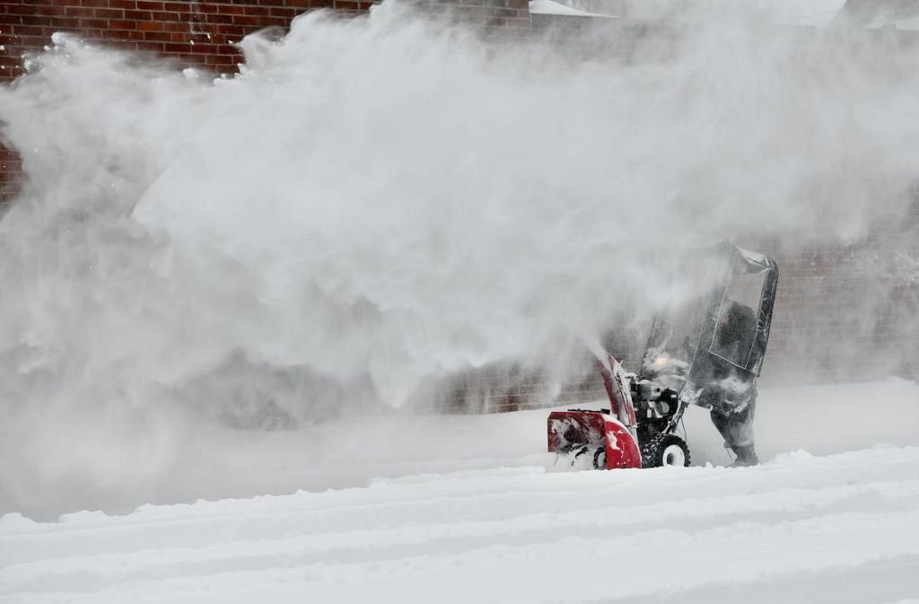
Snow Plow Crews Still Working Around The Clock In Response To Monday's Storm
/Snow clearing efforts continue and are progressing well following the significant snow storm in southern Ontario on Jan. 16-17, that dropped about 34 cm of snow on Peterborough.

Photo courtesy of The City of Peterborough.
City snow clearing crews have been working in shifts 24 hours a day since the night of Jan. 16. With the progress made on snow clearing, effective 7 p.m. on Thursday the City lifted the Significant Weather Event designation it put in place on Monday.
The majority of streets, sidewalks, and bus stops were clear by Thursday afternoon; crews continue to revisit some locations that require further clean-up.
“Thank you to residents for your patience and understanding as our community digs out of this big snowfall. A special thank you to everyone who helped a neighbour or community member after the storm. We are lucky to have exemplary Public Works crews that have been out there 24/7 to keep our community going,” Mayor Diane Therrien said. “Some other municipalities had to close facilities and services for several days due to this storm. While work is still happening, we’ve been able to minimize disruption while we either enjoy or curse the huge amount of snow.”
In addition to revisiting some locations of sidewalks and bus stops that need additional clean-up, the snow clearing work continued overnight on Thursday into Friday, with the focus on restoring roadway lane widths where snow banks have narrowed the roadways, removing snow on bridges to restore sidewalk widths, and continued maintenance on other locations such as dead-end streets and cul-de-sacs.
There are other locations, like the downtown, that require additional snow removal and work will continue until those locations are addressed.
Engage with us on social media on Twitter, Instagram, Facebook and Tiktok. Write to us at tips@ptbocanada.com. Sign up for PTBOBuzz newsletter here.
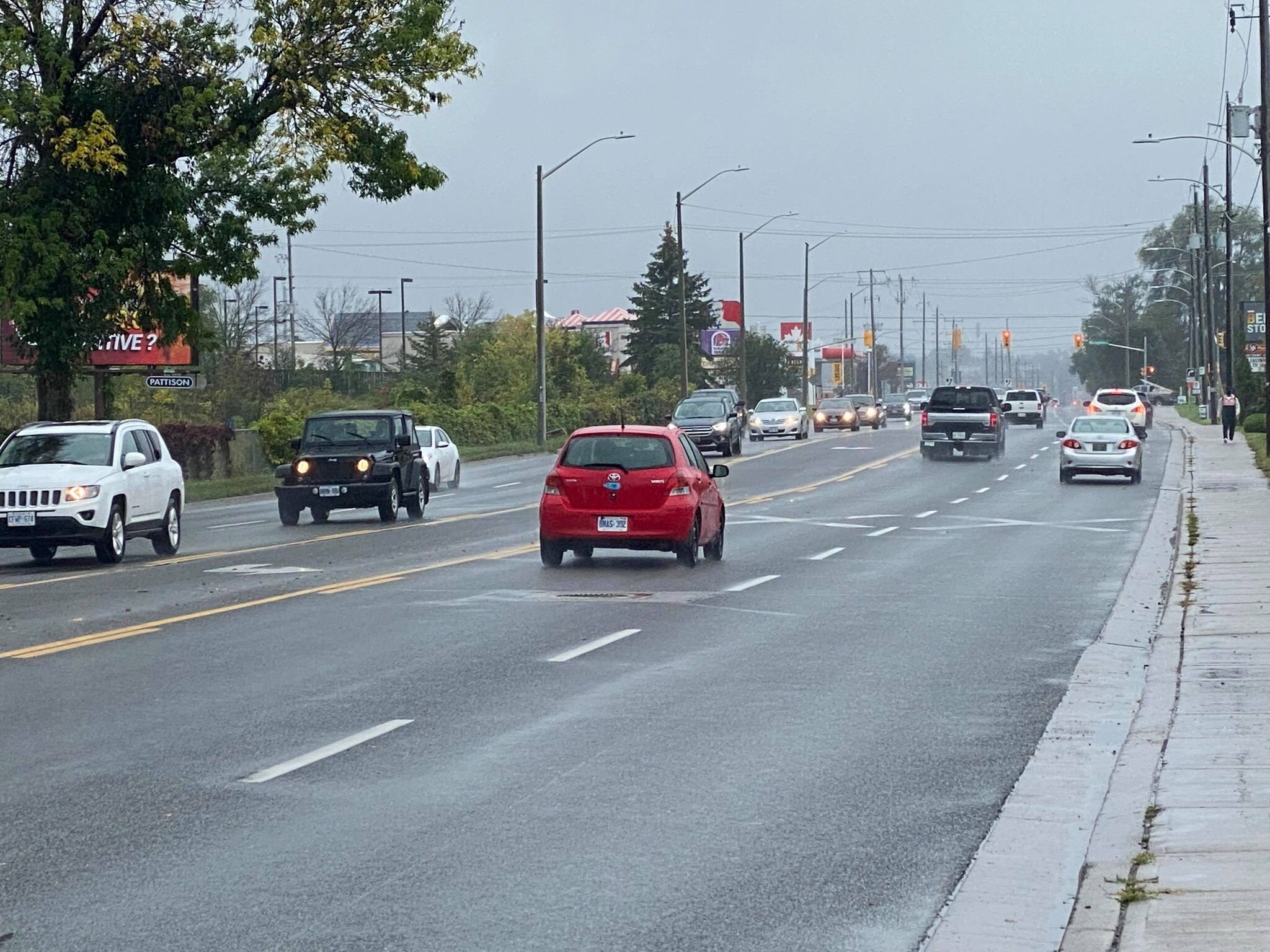
Extreme Cold Warning In Peterborough County Begins Thursday Morning
/Environment Canada issued an extreme cold warning for Peterborough County, Kawartha Lakes, northern Hastings County, and Haliburton County, beginning Thursday morning.

Photo by Angela O’Grady.
Late Wednesday afternoon, a cold front will push through the region, which will cause temperatures to abruptly drop below freezing.
By Thursday morning, cold temperatures in combination with brisk northwest winds will lead to wind chill values between -30°C and -35°C Thursday morning. Wind chill values are expected to moderate through the day Thursday, but may drop to near -30°C Thursday night into Friday morning once again.
Residents are encouraged to dress in layers if going outside is necessary.
It is also noted that surfaces such as highways, roads, walkways, and parking lots — especially untreated surfaces where snow has not yet been cleared — may become icy and slippery.
Engage with us on social media on Twitter, Instagram, Facebook and Tiktok. Write to us at tips@ptbocanada.com. Sign up for PTBOBuzz newsletter here.
Selwyn Township Lifts Significant Weather Event
/The Significant Weather Event declared by the Township of Selwyn has been lifted as of Tuesday.

Selwyn announced the Significant Weather Event on Monday Morning after being hit with over 20 cm of snow. Photo by Angela O’Grady.
The decision was made after the township reviewed Environment Canada weather reports and observing current weather conditions, sidewalk and road conditions.
Selwyn reminds everyone that declaring the end of the event does not mean the roads and sidewalks are in good condition. It only means that the Township of Selwyn now feels that the weather has subsided enough that it can meet our required maintenance objective timelines.
Drivers and Pedestrians are reminded to use caution while navigating in winter weather conditions. Selwyn Township’s Public Works crew is working diligently to restore the roads and sidewalks to a safe condition and are continuing with regular winter maintenance activities according to the release.
Engage with us on social media on Twitter, Instagram, Facebook and Tiktok. Write to us at tips@ptbocanada.com. Sign up for PTBOBuzz newsletter here.
Peterborough Public Health Issues Second Frostbite Alert Of The Season
/Peterborough Public Health has issued the second Frostbite Alert of the season because forecasted wind chill values are expected to drop to -31 °C early Tuesday morning.
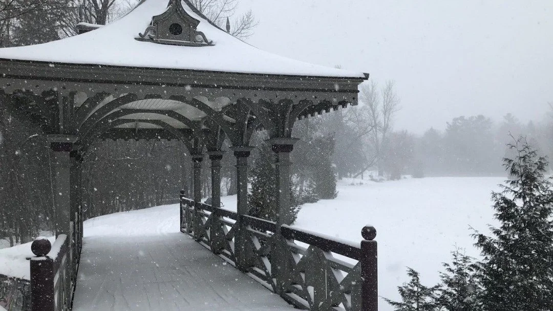
Photo by City of Peterborough.
Extreme cold events are a potentially significant health risk and everyone is encouraged to take precautions to stay safe. Extreme cold temperatures can particularly impact the health of vulnerable populations including infants, the elderly, people with circulatory problems, and the marginally housed. There are various emergency shelters available overnight in the City of Peterborough.
In order to protect the health of people in Peterborough County and City and Curve Lake and Hiawatha First Nations, Peterborough Public Health advises local residents to take the following precautions:
Check face and extremities frequently for signs of frostbite. Exposed skin can freeze in as little as 10 to 30 minutes
Consider re-scheduling outdoor recreational activities, especially during the evening. There is a serious risk of hypothermia and frostbite if outdoors for long periods.
Use caution when shoveling snow especially for those that have heart, respiratory (breathing) problems or other medical conditions. Snow shoveling is strenuous and can cause an onset of heart or respiratory problems.
Check on the elderly or people with disabilities living alone.
Symptoms/signs of frostbite include white/greyish skin area, skin that feels unusually firm or waxy, or numbness.
Increases in other health problems can also be seen, especially for those with other chronic medical conditions such as heart conditions.
Further information about the health risks of extreme cold and Peterborough Public Health’s Extreme Cold Response Plan can be found here or by visiting www.peterboroughpublichealth.ca and searching for “extreme cold”.
Engage with us on social media on Twitter, Instagram, Facebook and Tiktok. Write to us at tips@ptbocanada.com. Sign up for PTBOBuzz newsletter here.
Significant Rainfall Causes Temporary Partial Bypass at the Wastewater Treatment Plant
/UPDATE: The temporary partial bypass is over as of 3:25 p.m. Anyone using water from the Otonabee river downstream of the City of Peterborough Wasterwater Treatment Plant should exercise caution for the next 24 hours.
The City of Peterborough issued a statement saying significant rainfall has caused a temporary partial bypass at the Wastewater Treatment Plant, on Thursday.

Photo courtesy of the City of Peterborough.
Rainfall on Wednesday and Thursday has caused a significantly increased volume of water to enter the Wastewater Treatment Plant. As a result of the current conditions, the City of Peterborough Wastewater Treatment Plant has had to start a temporary, partial bypass.
This means that some partially treated sewage is being discharged to the Otonabee River.
Residents downstream of the City of Peterborough who draw water from the river are advised to take necessary precautions and boil water. The boil water advisory does not affect the City of Peterborough.
The City of Peterborough asks residents to reduce water consumption to help alleviate the volume of water flowing through the City’s Wastewater Treatment Plant. Residents can reduce their water consumption by taking short showers instead of baths, limiting or delaying loads of laundry and turning off taps while brushing teeth and doing dishes.
Engage with us on social media on Twitter, Instagram and Facebook. Write to us at tips@ptbocanada.com. Sign up for PTBOBuzz newsletter here.
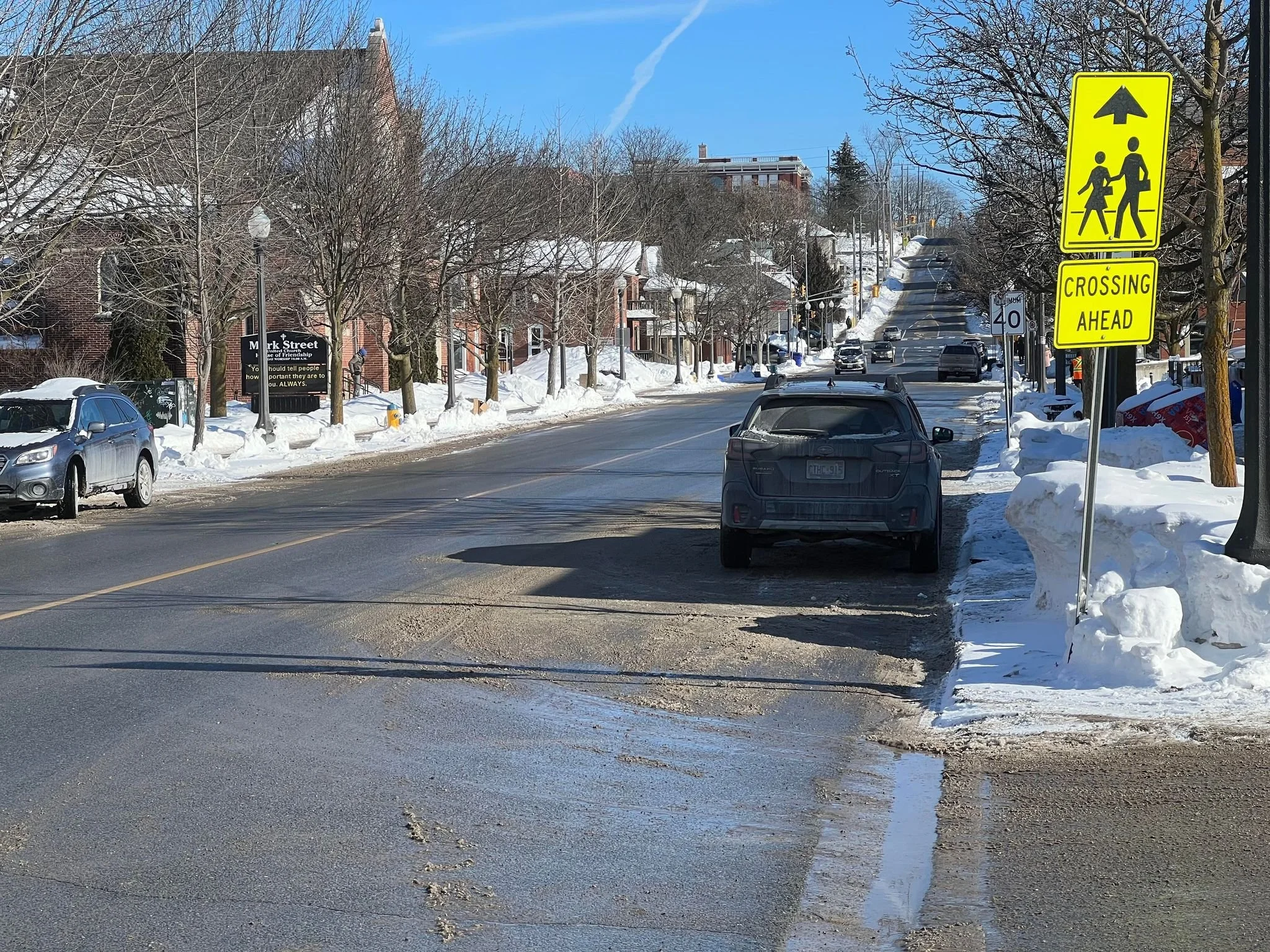
Flood Watch Issued in Peterborough and Area
/A flood watch has been issued to the City of Peterborough and surrounding municipalities by Otonabee Conservation, on Wednesday.
Rainfall on Lansdowne Street, Wednesday. Photo by Davin Tuan Bui.
Municipalities that may be affected are Selwyn, Douro-Dummer, Asphodel-Norwood, Otonabee-South Monaghan, Cavan Monaghan, City of Kawartha Lakes, City of Peterborough and Trent Hills.
From Wednesday - Thursday a moisture-laden low-pressure system and associated cold front is moving through our Region. The system will bring widespread rain and isolated thunderstorms.
Heavy downpours are expected to deliver as much as 15-20 mm in one hour. Total rainfall amounts are expected to be in the order of 40-60mm on Wednesday and another 20 mm on Thursday. Higher amounts are possible due to thunderstorms. Some lingering rainfall may continue over the weekend, but the main concern is heavy downpours and thunderstorms expected Wednesday and Thursday.
Heavy downpours and thunderstorms can cause flash floods and water pooling on roads and low-lying areas. Localized flooding is possible. As a minimum, higher than normal water levels and flows can be expected in lakes, rivers, streams, creeks, and wetlands, especially in the vicinity of culverts and bridges.
Higher than normal water levels and flows will continue over the weekend as the significant rainfall receipts of today and tomorrow flush through local waterways.
Residents are advised to be extremely cautious around all local lakes, rivers, streams, and creeks because shorelines/riverbanks will be slippery and could be undercut, and currents will be strong. Road-side ditches, wetlands and other low-lying areas may experience unsafe ponding conditions.
Dams and other water control/water conveyance structures are especially dangerous and should always be avoided.
Engage with us on social media on Twitter, Instagram and Facebook. Write to us at tips@ptbocanada.com. Sign up for PTBOBuzz newsletter here.
Extreme Cold Alert Issued For The Peterborough Area
/With extreme cold in the forecast, the One Roof Community Centre drop-in hours will be extended to 8 a.m. to 9 p.m. on Wednesday, December 18th and Thursday, December 19th to provide daytime shelter from the cold, the City of Peterborough says in a release.
One Roof Community Centre, which provides services on behalf of the City and County of Peterborough, is located at 99 Brock Street. Its normal operating hours are noon to 7 p.m. daily. For a full description of meals and other services that One Roof provides, click here.

Image via City of Peterborough