The City of Peterborough Lifts Significant Weather Event Declaration From Saturday's Snowstorm

The City of Peterborough lifted its Significant Weather Event declaration as of 5 p.m. Tuesday that was issued on Saturday due to a major snowstorm.

Photo by Aaron Elliott.

Environment Canada recorded that Peterborough received about 25 cm of snow from Friday to Saturday.

City of Peterborough Public Works employees were deployed throughout the storm and subsequent days to address conditions on roads, sidewalks and trails.

Declaring a Significant Weather Event is a way to advise residents, pedestrians, cyclists and motorists conditions on roads, sidewalks and bike lanes can be expected to be delayed compared to typical levels of service, due to the severity of a storm according to the City.

Engage with us on social media on Twitter, Instagram, Facebook and Tiktok. Write to us at tips@ptbocanada.com. Sign up for PTBOBuzz newsletter here.

One Roof Community Centre Extends Service Hours Feb. 23 to 25 Due to Weather Forecast

One Roof Community Centre is extending its hours of service to 8:30 a.m. to 9:30 p.m. beginning Thursday until Saturday, Feb. 25 due to cold temperatures and a winter storm in the forecast for the area.

file photo.

One Roof Community Centre, which provides warming room services on behalf of the City and County of Peterborough, is located at 99 Brock St. A meal is provided between 1 p.m. and 2 p.m. A full description of meals and other services that One Roof provides is online.

Information about how to protect yourself from extreme cold is available on the Peterborough Public Health website.

Emergency shelters are open and available to people experiencing homelessness who require emergency overnight shelter. If shelter capacity is full, temporary alternative accommodations for overnight stays may be made available. Please contact the shelters first for space:

Emergency After Hours Services related to emergency shelter are available through the Social Services by calling 705-926-0096. The Peterborough Social Services website has full details.

Engage with us on social media on Twitter, Instagram, Facebook and Tiktok. Write to us at tips@ptbocanada.com. Sign up for PTBOBuzz newsletter here.

Winter Storm Watch Calling For Heavy Precipitation Issued For Peterborough

A Winter storm watch has been issued for Peterborough on Tuesday; in effect for late Wednesday and into Thursday as a winter storm is expected.

file photo.

The Weather Network says precipitation may fall heavily at times leading to hazardous winter travel conditions, and may also mix with freezing rain in some areas.

There remains some uncertainty for the exact location, timing and accumulations of snow and ice pellets. Warnings may be issued as the event draws nearer.

Rapidly accumulating snow could make travel difficult over some locations. Travel is expected to be hazardous due to reduced visibility in some locations. Surfaces such as highways, roads, walkways and parking lots may become icy and slippery. There may be a significant impact on rush hour traffic in urban areas.

To keep up with weather updates visit the website.

Engage with us on social media on Twitter, Instagram, Facebook and Tiktok. Write to us at tips@ptbocanada.com. Sign up for PTBOBuzz newsletter here.

Otonabee Conservation Issues Flood Watch Amid Snowfalls Forecast for Peterborough and Surrounding Areas

A flood watch update was issued by Otonabee Conservation for the Trent-Severn Waterway (Kawartha Lakes, Otonabee River, Rice Lake, Trent River to Hastings) and local watercourses on Tuesday, warning communities that signifiant precipitation could lead to flooding.

File Photo.

The Flood watch, issued to Municipalities of Selwyn, Douro-Dummer, Asphodel-Norwood, Otonabee-South Monaghan, Cavan Monaghan, City of Kawartha Lakes, City of Peterborough and Trent Hills and ORCA’s other partners in flood emergency management, states that precipitation accumulation could lead to flooding.

Falling snow and wind chill are ingredients that contribute to cooling of river/stream/creek water, promoting and accelerating the generation of frazil ice. Multiple days of frazil ice generation increases the possibility of frazil ice accumulation causing channel constriction and the back-up of water behind the accumulation/constriction, leading to flooding of adjacent low-lying areas.

Starting Tuesday night and continuing for the next 7 to 10 days, the forecast is for wind chills that will drop overnight lows well into the double-digits.

Beginning Wednesday afternoon and continuing through Thursday morning, Otonabee Conservation says a strong low-pressure system will bring high winds, cold air temperatures and significant snowfall. They are alerting municipalities, residents and businesses that floods are possible with those snowfalls expected in the next couple days, and advising those in low-lying, flood-prone areas to keep an eye out for frazil ice generation, accumulation and rising water levels and to prepare for potential flooding.

Wednesday and Thursday’s total snow accumulations are expected to be around 20 centimeters across the watershed. This winter storm is expected to be followed by a series of minor weather disturbances bringing more snow, albeit low accumulations and continued cold air temperatures into the early days of February.

Thursday and Friday’s temperature low is expected to be - 19 degrees while feeling closer to - 22 degrees.

Water levels can be monitored online at:

  1. Trent-Severn Waterway’s Water Management InfoNet

  2. Water Survey of Canada Real-Time Hydrometric Data 

  3. Otonabee Region Conservation Authority website

This flood watch message will expire Feb. 2 unless updated earlier.

Engage with us on social media on Twitter, Instagram, Facebook and Tiktok. Write to us at tips@ptbocanada.com. Sign up for PTBOBuzz newsletter here.

Special Weather Statement in Effect for Peterborough and Kawartha Lakes; Significant Snowfall Expected

A special weather statement has been issued for Peterborough and Kawartha Lakes areas as Environment Canada calls for 10 to 15 centimetres of snow on Wednesday.

File photo.

The special weather statement released Jan. 23 at 12:17 a.m. is in effect for Apsley, Woodview, Lindsay, Peterborough City and Lakefield, calling for significant snowfall late Wednesday and into Thursday.

Environment Canada warns that rapid snow accumulation could lead to reduced visibility, making driving more difficult. Snow accumulation certain municipalities may reach up to 20 centimetres.

To keep up with monitors and alerts through Environment Canada, visit the website.

Engage with us on social media on Twitter, Instagram, Facebook and Tiktok. Write to us at tips@ptbocanada.com. Sign up for PTBOBuzz newsletter here.


Otonabee Conservation Issues Flood Watch to Peterborough and Surrounding Area

A flood watch update has been issued by Otonabee Conservation for the Trent-Severn Waterway and local watercourses on Thursday, urging residents to keep close watch for frazil ice.

file photo.

At 12:30 p.m. Thursday, Otonabee Conservation issued a flood watch for the Trent-Severn Waterway (Kawartha Lakes, Otonabee River, Rice Lake and Trent River to Hastings) and other local watercourses, alerting municipalities, residents and businesses that flooding is possible.

As a result of rainfall and snowmelt across the Trent-Severn, Parks Canada is managing high water levels and flows through the entire system. These high flows are expected to continue along the Otonabee River for the next seven to ten days, according to Otonabee Conservation.

The winter storm forecast is expected to generate frazil ice which may lead to flooding. Frazil ice (a kind of slush ice) can form when cold air temperatures and wind chill combine to cause surface water temperature to be super-cooled, but is unable to form a solid cover of ice because of fast moving water.

As frazil ice flows downstream, Otonabee Conservation says it will eventually come to rest against obstructions such as islands, bridge piers and abutments, in low velocity areas (bends, slope reductions) or in areas of channel constrictions, where it will accumulate. Where frazil ice accumulates, it is likely to cause a restriction of water flow downstream, resulting in a rise of water and possible flooding behind the frazil ice build-up.

Residents and businesses along the shores of the Otonabee River and Kawartha Lakes are strongly encouraged by Otonobee Conservation to keep a close watch for frazil ice generation, accumulation and jamming, and to take action to limit or prevent damages due to potential flooding.

This flood watch will expire Jan. 19 unless updated earlier.

Water levels can be monitored online at:

Engage with us on social media on Twitter, Instagram, Facebook and Tiktok. Write to us at tips@ptbocanada.com. Sign up for PTBOBuzz newsletter here.

Fog Advisory Issued for Peterborough and Surrounding Areas

Environment Canada has issued a fog advisory for Peterborough and surrounding areas 11 a.m. Thursday.

stock photo.

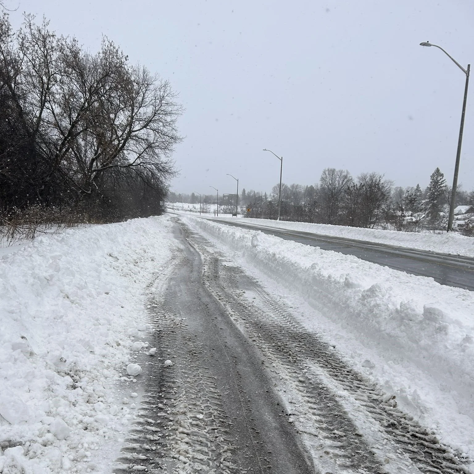
Environment Canada is calling for rain showers into the afternoon Thursday, with a few flurries beginning around noon. Areas of dense fog are expected to continue into the afternoon, bringing near-zero visibility in some areas. Environment Canada warns those travelling to be prepared while driving, and to slow down, watch for tail lights ahead and be prepared to stop abruptly.

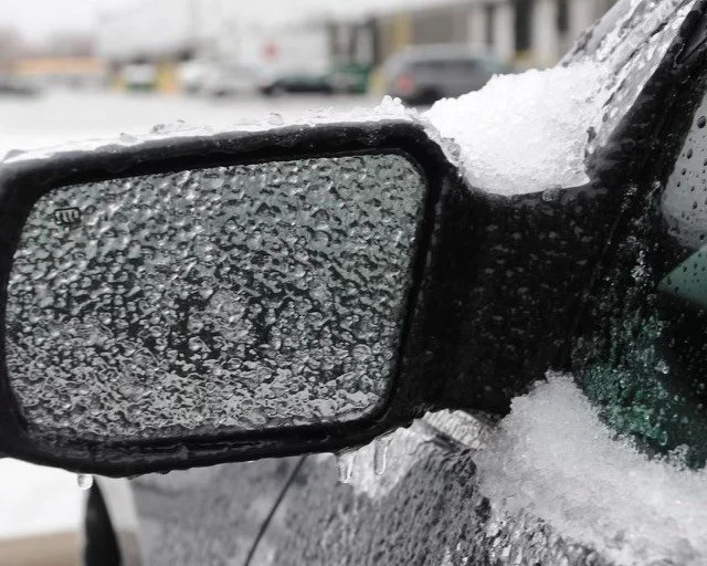
2 to 4 centimetres of snowfall are expected later in the afternoon Thursday, with a wind chill of minus 8 are into the evening and overnight.

On Friday, another 2 to 4 centimetres of snow is expected, with temperatures staying steady at - 3. A low of - 10 is expected in the evening on Friday with a 40 per cent chance of flurries.

Engage with us on social media on Twitter, Instagram, Facebook and Tiktok. Write to us at tips@ptbocanada.com. Sign up for PTBOBuzz newsletter here.


Otonabee Conservation Issues Flood Watch to Peterborough and Surrounding Area Due to Warm Weather and Rainfall

Otonabee Conservation has issued a flood watch to Peterborough and the surrounding area due to the warm temperatures, rainfall and melting snow throughout the holidays announced on Thursday.

The watch is for the municipalities of Selwyn, Douro-Dummer, Asphodel-Norwood, Otonabee-South Monaghan, Cavan Monaghan, City of Kawartha Lakes, City of Peterborough and Trent Hills and ORCA’s other partners in flood emergency management according to Otonobee Conservation.

The flood watch is issued to alert municipalities, residents and businesses that floods are possible.

Parks Canada reports that they are managing water throughout the entire system.  Increased flows are entering the Kawartha Lakes that increase water levels and could result in the potential breakup of ice cover and ice jams. Starting Thursday, the flows on the Otonabee River will be increased to convey the excess water within the system.

Otonabee Conservation expects a return of cold air temperatures over the next week, in combination with a lack of ice cover and turbulent flows on the Otonabee River may result in the generation of frazil ice (a kind of slush ice formed by cold air temperatures and wind chill combine to cause the surface water temperature to be super-cooled) which can lead to flooding.

Residents and businesses along the shores of the Otonabee River and Kawartha Lakes — especially those located in low-lying areas — are strongly encouraged by Otonobee Conservation to keep a close watch for frazil ice generation, accumulation, and jamming and to take action to limit or prevent damages due to potential flooding.

Water levels can be monitored online at:

The flood watch is expected to expire next Thursday unless stated otherwise.

Engage with us on social media on Twitter, Instagram, Facebook and Tiktok. Write to us at tips@ptbocanada.com. Sign up for PTBOBuzz newsletter here.

Freezing Rain Warning Issued for Peterborough and Surrounding Area

A freezing rain warning was issued by Environment Canada for Peterborough and the surrounding area at 5 a.m. on Wednesday.

File photo.

Environment Canada is calling for showers ending this morning, with some cloudy skies and periods of rain to follow around noon. Fog patches are set to dissipate later in the morning.

Periods of freezing rain mixed with ice pellets are expected to start Wednesday night, with temperatures dropping to a low of -1.

Cloudy weather and a 40 per cent chance of snow flurries are expected until this Saturday.

Engage with us on social media on Twitter, Instagram, Facebook and Tiktok. Write to us at tips@ptbocanada.com. Sign up for PTBOBuzz newsletter here.


Safety Tips for Residents From the City of Peterborough in The Event of a Utility Outage

The City of Peterborough is providing safety tips for residents in the event of utility outages in advance of the major winter storm that is forecast to begin in the late hours of Thursday.

Photo by Samantha Bianco.

Peterborough could be hit with rapidly falling temperatures, potentially damaging winds along, snow and potential for blizzard conditions on Friday and into the weekend.

To protect their home and property during extended power outages during cold weather, residents are encouraged to:

  • leave the cold water tap open slightly so there is a trickle of water to prevent pipes from freezing

  • open cupboard doors to kitchen and bathroom sinks to allow the residual heat from inside the house will help keep the indoor pipes from freezing

  • keep fridges/freezers closed to keep items cold as long as possible

  • do not use barbeques or propane heaters indoors due to carbon monoxide risk

  • don't leave burning candles unattended

Peterborough Fire Services offers the following advice to keep you and your family safe from a winter fire:

  • Make sure your smoke and carbon monoxide alarms have battery backups

  • Plan two ways out of the home in case of an emergency. Clear driveway and front walk of ice and snow. This will provide easy access to your home

  • If possible, try to keep hydrants clear of snow and ice so firefighters can access them if needed

  • Make sure your house number can be seen from the street

  • Be ready if the heat stops working. Use extra layers of clothes and blankets to stay warm. If you use an emergency heat source, keep anything that can burn at least three feet away. NEVER use your oven to heat your home

  • Have flashlights or battery-powered lighting and fresh batteries. Never use candles. If you must use candles, never leave them unattended

  • Turn portable heaters off when you leave the room. Turn them off when you go to bed

  • Check on neighbours and others who may need help

  • Generators should be used outdoors. Keep them away from windows and doors. Do not run a generator inside your garage, even if the door is open. Never fuel a generator while it is running

  • Keep snow, ice, and other debris away from exhaust vents to prevent carbon monoxide poisoning

  • Stay at least 10 metres away from downed wires and report any downed wires to authorities: 1-888-664-9376 for Hydro One, or 911 if there is an immediate personal safety risk

Residents are encouraged to stay aware of winter weather and hydro outages. The Hydro One website provides an outage map, easy online reporting of outages and the ability to sign up for outage alerts.

The City is closely monitoring the developing winter storm and preparing to implement storm response operations/emergency management measures if required.

Engage with us on social media on Twitter, Instagram, Facebook and Tiktok. Write to us at tips@ptbocanada.com. Sign up for PTBOBuzz newsletter here.