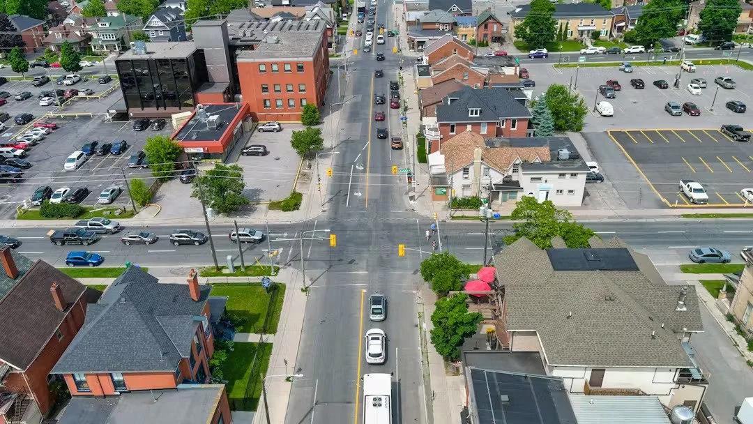
City Council Approves Conceptual Design of Charlotte Street West Streetscape Project

City Council approved the Charlotte Street conceptual design as part of a major infrastructure project that includes significant underground work to improve stormwater infrastructure during their meeting on Tuesday night.

Photo courtesy of the City of Peterborough.

Council also pre-committed $27.6 million in the 2026 to 2029 capital budgets, with $10,791,100 from the federal Disaster Mitigation and Adaptation Fund.

The Flood Reduction Master Plan identified the need for upgrades to the stormwater infrastructure beneath Charlotte Street to support the City of Peterborough’s broader flood mitigation objectives.

An investigation of Charlotte Street led to the recommendation for the installation of a 100-year stormwater conveyance pipe along Charlotte Street from Park Street to Bethune Street, from Bethune Street to Water Street, and along a portion of George Street from Simcoe Street to Charlotte Street. The proposed improvements are intended to extend flood protection benefits west of Bethune Street and align with the City’s long-term infrastructure resilience goals, according to the City.

Underground infrastructure projects of this nature typically necessitate the removal and replacement of surface-level streetscape elements. This disruption presents a strategic opportunity to reimagine and redesign the streetscape to better serve the future role and functions of a given corridor. Recognizing this, the City of Peterborough initiated a series of planning and design studies between 2015 and 2018 to develop conceptual streetscape designs for affected corridors.

This current project aims to finalize the proposed conceptual streetscape design for Charlotte Street from Park Street to Aylmer Street. Upon Council approval, this segment will be integrated with existing conceptual designs for Charlotte Street from Aylmer Street to Water Street, creating a comprehensive corridor plan.

The proposed streetscape concept retains existing road function, including full truck and bus movement, provides enhanced pedestrian space and separate cycle track facilities, removes mobility barriers and includes select on-street parking spaces and community flex space.

The proposed concept addresses requirements of the City’s Official Plan, Transportation Master Plan, Central Area Urban Design Guidelines, Central Area Master Plan, Climate Change Action Plan 2.0, the Transportation Association of Canada’s Geometric Design Guide for Canadian Roads and relevant Ontario Traffic Manuals, including Book 18: Cycling Facilities.

A pre-commitment of Capital budget is required through 2026 - 2029 to commit the City’s share of eligible costs under the Disaster Mitigation and Adaptation Fund and secure $11,359,152 in Federal Funding.

Engage with us on social media on Twitter, Instagram, Facebook, Tiktok, Youtube and LinkedIn. Write to us at tips@ptbocanada.com. Sign up for our newsletter here.